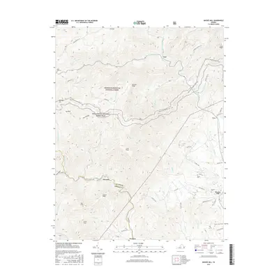
2016 Map of Massies Mill
USGS Topo · Published 2016About this map
Massies Mill and Tyro anchor the drainage of the Tye River system within the eastern foothills of the Blue Ridge. This landscape is defined by the sharp transition from the valley floor to the high peaks of the George Washington National Forest, where the Appalachian National Scenic Trail traverses significant summits like The Priest and The Friar. The settlement pattern follows the water, with older communities like Alhambra and Nash situated near the headwaters of the South Fork Tye River and Piney River.
Find a feature on this map
71 named features on this map. Tap any name to fly to it.
Don’t see what you’re looking for? This feature index may not catch every label — zoom into the map to look around manually.
Map Details
Editions of this 2016 Massies Mill Map
This is the sole edition of this map. No revisions or reprints were ever made.
Other maps of this area

1892 · Buckingham
USGS Topo · 1:125,000

1894 · Lexington
USGS Topo · 1:125,000

1935 · Amherst
USGS Topo · 1:48,000

1936 · Vesuvius
USGS Topo · 1:48,000

1939 · Amherst
USGS Topo · 1:62,500

1941 · Vesuvius
USGS Topo · 1:62,500

1943 · Lovingston
USGS Topo · 1:62,500

1946 · Lovingston
USGS Topo · 1:62,500

1947 · Roanoke
USGS Topo · 1:250,000

1950 · Amherst
USGS Topo · 1:62,500