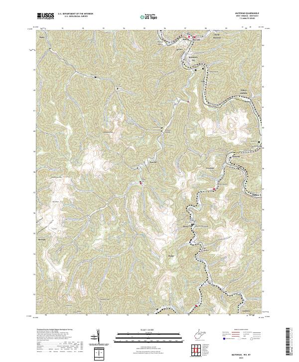
2023 Map of Matewan
USGS Topo · Published 2023About this map
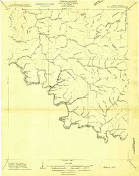
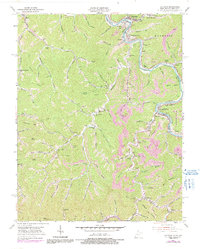
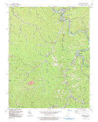
Tug Fork carves the border between West Virginia and Kentucky, framing a landscape defined by the legacies of the Hatfield family and the mining communities of the Tug Valley. This 2023 survey provides extensive genealogical detail, locating family landmarks such as the Jerry Hatfield Cem, Matthew Hatfield Cem, and Hatfield Cem near Stickrock Hollow. The winding river valley connects the historic town of Matewan with smaller settlements like North Matewan, Buskirk, and McCarr. The map documents the intricate drainages of the Appalachian coal country, including Blackberry Creek and Left Fork Blackberry Creek, which dictate the placement of local roads and remote hollows. From Blackberry City to Freeburn, the settlement patterns follow the narrow bottomlands of the Tug and its tributaries, revealing the enduring layout of these central Appalachian mountain communities.
Find a feature on this map
121 named features on this map. Tap any name to fly to it.
Don’t see what you’re looking for? This feature index may not catch every label — zoom into the map to look around manually.
Map Details
Editions of this 2023 Matewan Map
This is the sole edition of this map. No revisions or reprints were ever made.
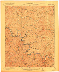
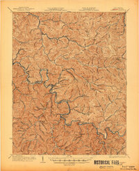
Historical Maps of McCarr Through Time
7 maps found