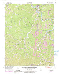
1954 Map of Matewan
USGS Topo · Published 1991About this map
The Tug Fork carves a winding path along the Kentucky and West Virginia border, anchoring a landscape defined by its coal-mining infrastructure and tight valley settlements. At the bend of the river, Matewan sits opposite Buskirk and McCarr, serving as a focal point for the region's industrial activity. Evidence of the extractive economy is visible in the extensive Strip Mine operations that crown the ridges and the Norfolk and Western railway lines that track the river's edge.
Find a feature on this map
101 named features on this map. Tap any name to fly to it.
Don’t see what you’re looking for? This feature index may not catch every label — zoom into the map to look around manually.
Map Details
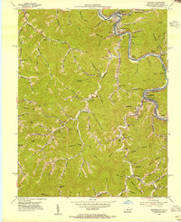
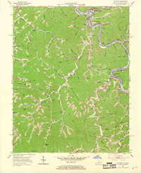
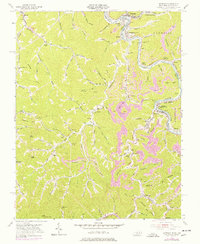
Editions of this 1954 Matewan Map
4 editions found
Other maps of this area

1886 · Grundy
USGS Topo · 1:125,000

1887 · Warfield
USGS Topo · 1:125,000

1890 · Grundy
USGS Topo · 1:125,000

1891 · Warfield
USGS Topo · 1:125,000

1892 · Grundy
USGS Topo · 1:125,000

1909 · Matewan
USGS Topo · 1:48,000

1914 · Hurley
USGS Topo · 1:48,000

1915 · Regina
USGS Topo · 1:48,000

1915 · Hurley
USGS Topo · 1:48,000

1915 · Williamson
USGS Topo · 1:48,000