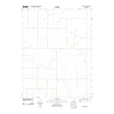
2010 Map of Matheson SE
USGS Topo · Published 2010About this map
North Rush Creek and Middle Rush Creek carve subtle drainages across this Elbert County landscape, illustrating the ephemeral water patterns of the Colorado high plains. The area is defined by a rigorous grid of section lines and rural travel corridors, such as County Rd-197 and County Rd-58, which dictate the movement of ranching and agricultural life. Apart from these waterways and the intermittent Apache Creek, the map reveals a sparsely settled region where the primary human footprint is found in the extensive network of numbered roads like County Rd-185 and County Rd-46. This 2010 survey reflects a moment of continuity in the rural West, where land use remains centered on wide-open spaces and the essential pathways that connect remote homesteads and grazing lands.
Find a feature on this map
12 named features on this map. Tap any name to fly to it.
Don’t see what you’re looking for? This feature index may not catch every label — zoom into the map to look around manually.
Map Details
Editions of this 2010 Matheson SE Map
This is the sole edition of this map. No revisions or reprints were ever made.
Other maps of this area

1889 · Sanborn
USGS Topo · 1:125,000

1891 · Sanborn
USGS Topo · 1:125,000

1891 · Limon
USGS Topo · 1:125,000

1892 · Limon
USGS Topo · 1:125,000

1893 · Sanborn
USGS Topo · 1:125,000

1954 · Limon
USGS Topo · 1:250,000

1954 · Lamar
USGS Topo · 1:250,000

1957 · Limon
USGS Topo · 1:250,000

1958 · Limon
USGS Topo · 1:250,000

1958 · Lamar
USGS Topo · 1:250,000