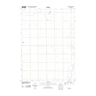
2010 Map of Matlock
USGS Topo · Published 2010About this map
Matlock stands as the primary settlement on this Northwest Iowa landscape, surrounded by an orderly grid of section lines and gravel roads. Located just south of Otter Creek, the town is oriented around a network of local thoroughfares including Larch Ave and 280th St. To the south, the village of Boyden borders the western edge of the quadrangle, while the Greenwood Cemetery serves as a significant genealogical landmark for the surrounding rural community. The terrain is defined by the drainage of the Floyd River in the southeast, cutting through the geometric precision of the farm plots. This survey captures the region's agricultural character, where named roads like Kingbird Ave and Marsh Ave delineate the territory into productive squares, maintaining a settlement pattern largely unchanged for generations.
Find a feature on this map
21 named features on this map. Tap any name to fly to it.
Don’t see what you’re looking for? This feature index may not catch every label — zoom into the map to look around manually.
Map Details
Editions of this 2010 Matlock Map
This is the sole edition of this map. No revisions or reprints were ever made.
Other maps of this area

1954 · Fairmont
USGS Topo · 1:250,000

1955 · Sioux Falls
USGS Topo · 1:250,000

1958 · Sioux Falls
USGS Topo · 1:250,000

1958 · Fairmont
USGS Topo · 1:250,000

1964 · Hospers
USGS Topo · 1:24,000

1964 · Matlock
USGS Topo · 1:24,000

1964 · Sheldon SE
USGS Topo · 1:24,000

1964 · Orange City
USGS Topo · 1:24,000

1964 · Sheldon
USGS Topo · 1:24,000

1964 · Boyden
USGS Topo · 1:24,000