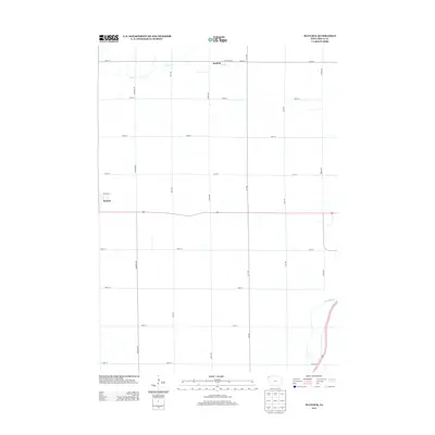
2013 Map of Matlock
USGS Topo · Published 2013About this map
Matlock stands at the northern edge of this Sioux County survey, anchoring a landscape defined by the rigid grid of rural roads and the natural wanderings of the Floyd River. The river cuts through the southeastern corner, while Otter Cr drains the northwestern section near the town site. The map reflects the enduring agricultural structure of Northwest Iowa in the early 21st century, where the small settlement of Boyden appears on the western margin along US Highway 18. The intersection of paved routes like Highway 60 and the gravel grid of named avenues such as Larch Ave and Lily Ave illustrate the logistical framework of the region's farming economy. This record captures the precise spatial relationship between these two small communities and the watercourses that have historically influenced the drainage and development of the surrounding prairie.
Find a feature on this map
22 named features on this map. Tap any name to fly to it.
Don’t see what you’re looking for? This feature index may not catch every label — zoom into the map to look around manually.
Map Details
Editions of this 2013 Matlock Map
This is the sole edition of this map. No revisions or reprints were ever made.
Other maps of this area

1954 · Fairmont
USGS Topo · 1:250,000

1955 · Sioux Falls
USGS Topo · 1:250,000

1958 · Sioux Falls
USGS Topo · 1:250,000

1958 · Fairmont
USGS Topo · 1:250,000

1964 · Hospers
USGS Topo · 1:24,000

1964 · Matlock
USGS Topo · 1:24,000

1964 · Sheldon SE
USGS Topo · 1:24,000

1964 · Orange City
USGS Topo · 1:24,000

1964 · Sheldon
USGS Topo · 1:24,000

1964 · Boyden
USGS Topo · 1:24,000