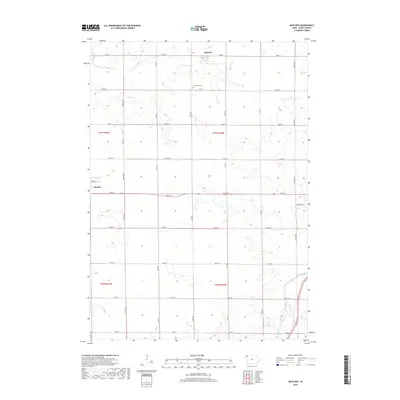
2018 Map of Matlock
USGS Topo · Published 2018About this map
The agricultural grid of Sioux County dominates this 2018 survey, centered on the small rural community of Matlock. The landscape is defined by the section-line road system, including North-South corridors like Kingbird Ave and Larch Ave, which serve the scattered farmsteads of the region. Local history is anchored by Greenwood Cem located along 290th St, providing a genealogical point of interest for researchers of the area's farming families.
Find a feature on this map
29 named features on this map. Tap any name to fly to it.
Don’t see what you’re looking for? This feature index may not catch every label — zoom into the map to look around manually.
Map Details
Editions of this 2018 Matlock Map
This is the sole edition of this map. No revisions or reprints were ever made.
Other maps of this area

1954 · Fairmont
USGS Topo · 1:250,000

1955 · Sioux Falls
USGS Topo · 1:250,000

1958 · Sioux Falls
USGS Topo · 1:250,000

1958 · Fairmont
USGS Topo · 1:250,000

1964 · Hospers
USGS Topo · 1:24,000

1964 · Matlock
USGS Topo · 1:24,000

1964 · Sheldon SE
USGS Topo · 1:24,000

1964 · Orange City
USGS Topo · 1:24,000

1964 · Sheldon
USGS Topo · 1:24,000

1964 · Boyden
USGS Topo · 1:24,000