2022 Map of Matlock
USGS Topo · Published 2022About this map
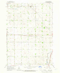
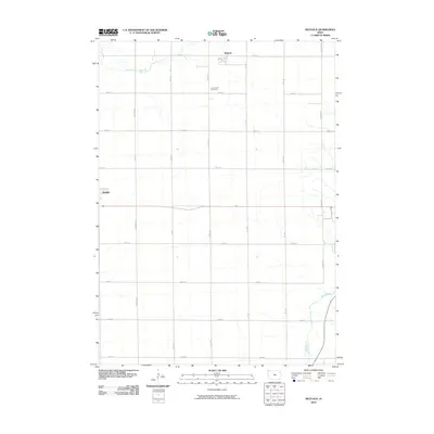
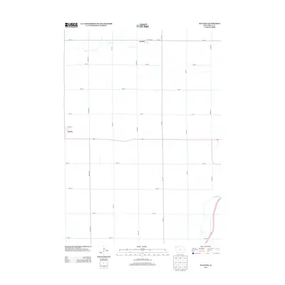
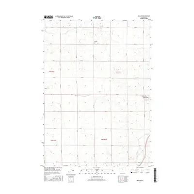
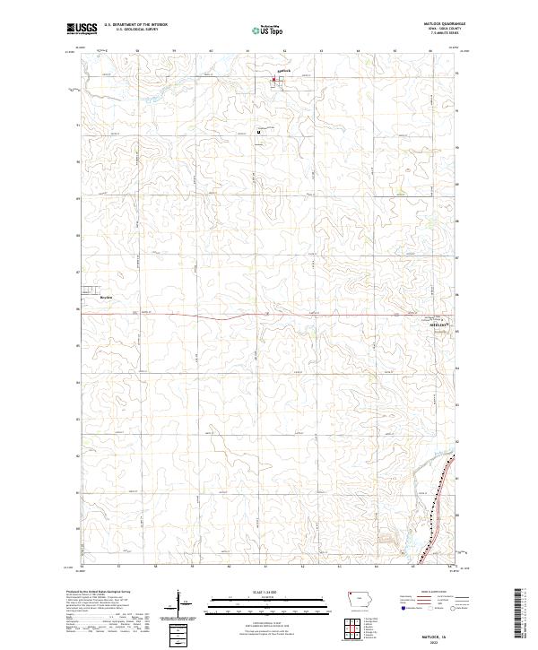
Matlock and the surrounding agricultural townships of Sioux County are defined by a precision grid of section roads and quiet watercourses. This modern survey illustrates the enduring rural structure of the region, where family farms are accessed via thoroughfares like Kingbird Ave and Larch Ave. Local history is anchored at Greenwood Cem, while the southern reaches of the map show the edge of Sheldon, including the campus of Northwest Iowa Community College. The landscape is naturally drained by the Floyd River in the southeast and Otter Creek in the northwest, which carve subtle relief into the upland plains. The western border captures a portion of Boyden, connected to the wider region by the prominent corridor of 320th St.
Find a feature on this map
31 named features on this map. Tap any name to fly to it.
Don’t see what you’re looking for? This feature index may not catch every label — zoom into the map to look around manually.
Map Details
Editions of this 2022 Matlock Map
This is the sole edition of this map. No revisions or reprints were ever made.
Historical Maps of Sheldon Through Time
6 maps found