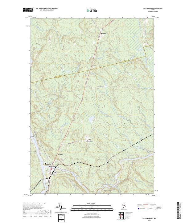
2024 Map of Mattawamkeag
USGS Topo · Published 2024About this map
The confluence of the Penobscot River and the Mattawamkeag River defines the landscape of this Penobscot County region, where water and wood have long shaped local life. In the town of Mattawamkeag, the street grid centers on the Post Office and the crossing of Main St, while the nearby Mattawamkeag Cem and small settlements like Meadowville and Back Settlement reflect the area's rural residential patterns. To the south, the Mattawamkeag Wilderness Park Rd leads toward Gordon Falls, highlighting the area's transition into more protected natural spaces.
Find a feature on this map
43 named features on this map. Tap any name to fly to it.
Don’t see what you’re looking for? This feature index may not catch every label — zoom into the map to look around manually.
Map Details
Editions of this 2024 Mattawamkeag Map
This is the sole edition of this map. No revisions or reprints were ever made.
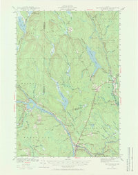
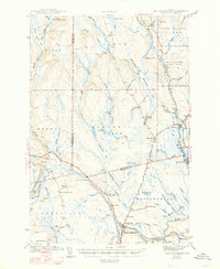
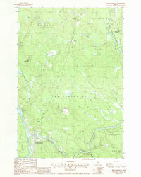
Historical Maps of Kingman Township Through Time
4 maps found