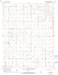
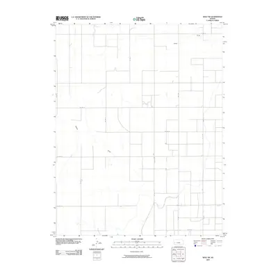
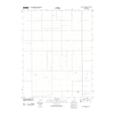
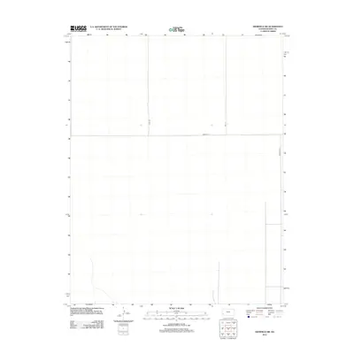
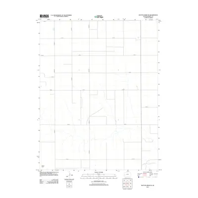
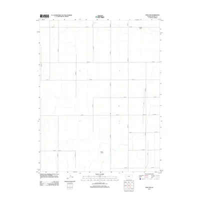
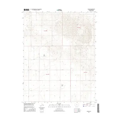
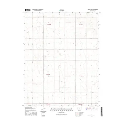
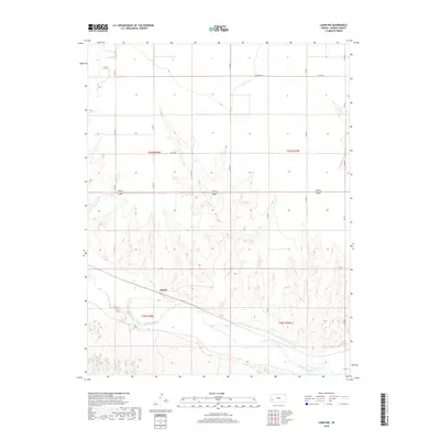
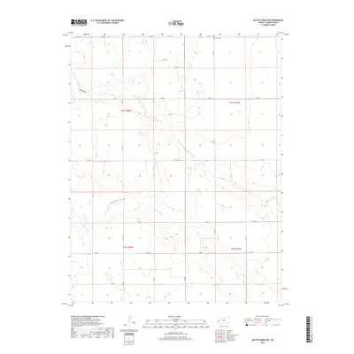
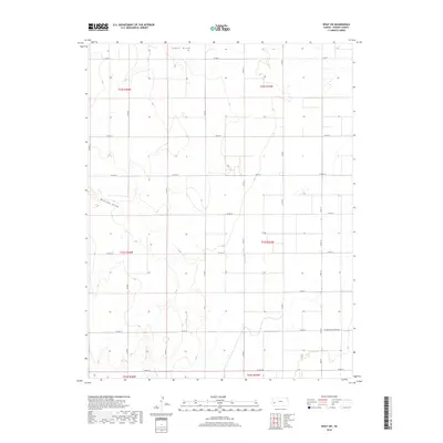
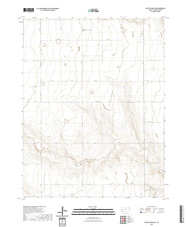
1965 Map of Mattox Draw NE
USGS Topo · Published 1993About this map
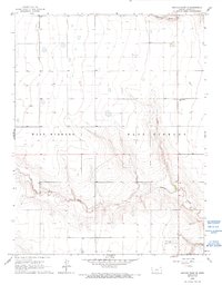
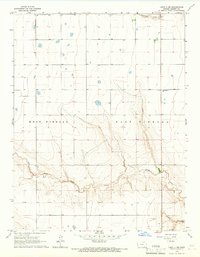
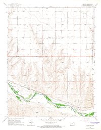
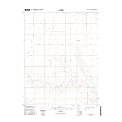
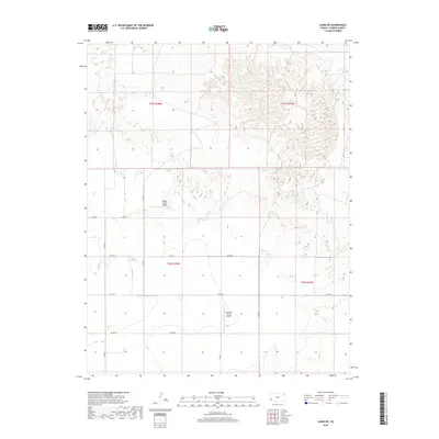
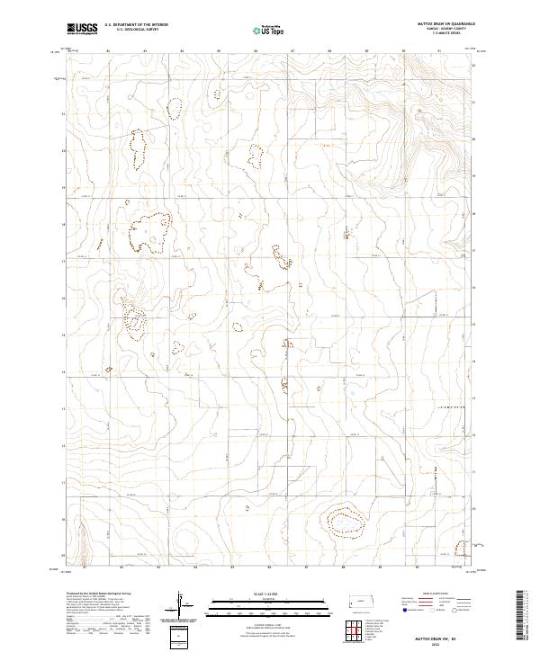
West Hibbard and East Hibbard define this high plains landscape in the mid-1960s, showing a transition from open prairie to the carved drainage basins of the Arkansas River watershed. The area is characterized by a sparse settlement pattern typical of western Kansas, where infrastructure is concentrated at wide intervals. Education and transport are represented by the North Kearny Sch and the Dienst Ranch Airport in the south, while the landscape is dissected by the seasonal paths of Campbell Draw and James Draw. A single Gas Well in the southeastern corner indicates the early expansion of energy extraction into these ranchlands. This survey provides a precise look at the section lines and small depressions that dictated land use before modern center-pivot irrigation further altered the topography.
Find a feature on this map
9 named features on this map. Tap any name to fly to it.
Don’t see what you’re looking for? This feature index may not catch every label — zoom into the map to look around manually.
Map Details
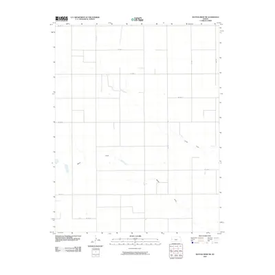
Editions of this 1965 Mattox Draw NE Map
2 editions found
Historical Maps of Kearny County Through Time
61 maps found

1891 Larned
Kearny County, KS
1960 Deerfield SW
Kearny County, KS
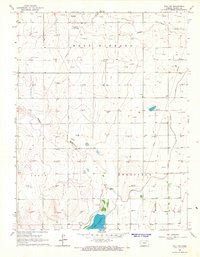
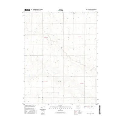
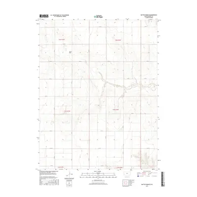
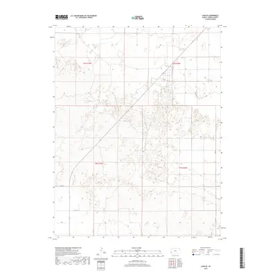
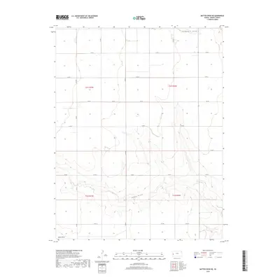
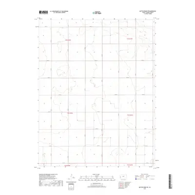
1965 Mattox Draw NE
Kearny County, KS
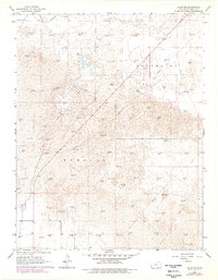
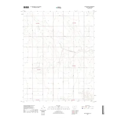
1965 Mattox Draw NW
Kearny County, KS

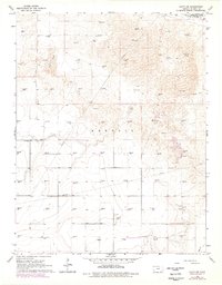
1965 Wolf NW
Kearny County, KS
1966 Lakin NW
Kearny County, KS
1966 Lakin SE
Kearny County, KS
1966 Lakin SW
Kearny County, KS
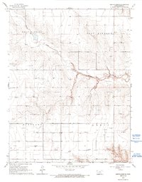
1966 Mattox Draw SE
Kearny County, KS
1966 Mattox Draw SW
Kearny County, KS
1966 Wolf SW
Kearny County, KS
2009 Deerfield SW
Kearny County, KS
2009 Wolf NW
Kearny County, KS
2009 Wolf SW
Kearny County, KS
2010 Lakin NW
Kearny County, KS
2010 Lakin SE
Kearny County, KS
2010 Lakin SW
Kearny County, KS
2010 Mattox Draw NE
Kearny County, KS
2010 Mattox Draw NW
Kearny County, KS
2010 Mattox Draw SE
Kearny County, KS
2010 Mattox Draw SW
Kearny County, KS
2012 Deerfield SW
Kearny County, KS
2012 Lakin NW
Kearny County, KS
2012 Lakin SE
Kearny County, KS
2012 Lakin SW
Kearny County, KS
2012 Mattox Draw NE
Kearny County, KS
2012 Mattox Draw NW
Kearny County, KS

2012 Mattox Draw SE
Kearny County, KS
2012 Mattox Draw SW
Kearny County, KS
2012 Wolf NW
Kearny County, KS
2012 Wolf SW
Kearny County, KS
2015 Deerfield SW
Kearny County, KS
2015 Lakin NW
Kearny County, KS
2015 Lakin SE
Kearny County, KS
2015 Lakin SW
Kearny County, KS
2015 Mattox Draw NE
Kearny County, KS
2015 Mattox Draw NW
Kearny County, KS
2015 Mattox Draw SE
Kearny County, KS
2015 Mattox Draw SW
Kearny County, KS
2015 Wolf NW
Kearny County, KS
2015 Wolf SW
Kearny County, KS
2018 Deerfield SW
Kearny County, KS
2018 Lakin NW
Kearny County, KS
2018 Lakin SE
Kearny County, KS
2018 Lakin SW
Kearny County, KS
2018 Mattox Draw NE
Kearny County, KS
2018 Mattox Draw NW
Kearny County, KS
2018 Mattox Draw SE
Kearny County, KS
2018 Mattox Draw SW
Kearny County, KS
2018 Wolf NW
Kearny County, KS
2018 Wolf SW
Kearny County, KS
2022 Deerfield SW
Kearny County, KS
2022 Lakin NW
Kearny County, KS
2022 Lakin SE
Kearny County, KS
2022 Lakin SW
Kearny County, KS
2022 Mattox Draw NE
Kearny County, KS
2022 Mattox Draw NW
Kearny County, KS
2022 Mattox Draw SE
Kearny County, KS
2022 Mattox Draw SW
Kearny County, KS
2022 Wolf NW
Kearny County, KS
2022 Wolf SW
Kearny County, KS