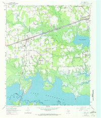
1955 Map of Maud
USGS Topo · Published 1972About this map
Lake Texarkana dominates the landscape of southern Bowie County, its irregular shoreline reaching into the valleys of Big Creek and Kelley Creek. The town of Maud serves as a central hub, situated where the St Louis Southwestern railroad line and local roads intersect. The map captures a moment of transition as purple revision layers indicate mid-century residential growth near the Red River Arsenal and the expanding borders of Redwater.
Find a feature on this map
21 named features on this map. Tap any name to fly to it.
Don’t see what you’re looking for? This feature index may not catch every label — zoom into the map to look around manually.
Map Details
Editions of this 1955 Maud Map

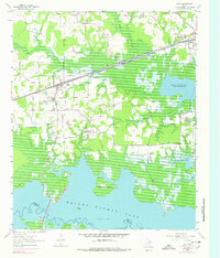
Other maps of this area

1907 · Atlanta
USGS Topo · 1:62,500

1909 · New Boston
USGS Topo · 1:62,500

1909 · Texarkana
USGS Topo · 1:62,500

1910 · Linden
USGS Topo · 1:62,500

1910 · Atlanta
USGS Topo · 1:62,500

1953 · Texarkana
USGS Topo · 1:250,000

1954 · New Boston
USGS Topo · 1:24,000

1954 · Leary
USGS Topo · 1:24,000

1954 · Hooks
USGS Topo · 1:24,000

1954 · Lake Texarkana
USGS Topo · 1:24,000