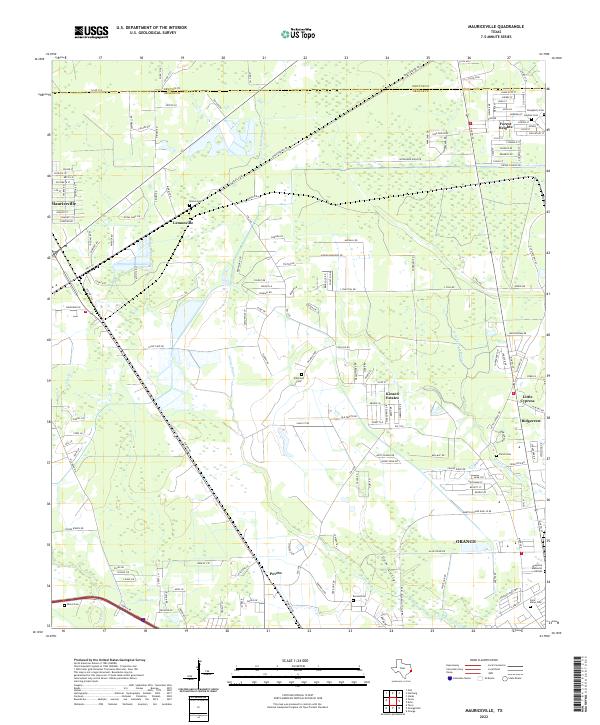
2022 Map of Mauriceville
USGS Topo · Published 2022About this map
Mauriceville and its surrounding communities in Orange County are defined by a complex network of waterways and low-lying wetlands. The landscape is dominated by the meandering course of Adams Bayou and Gum Gully, which thread through various unincorporated settlements and modern residential developments like Kinard Estates and Forest Heights. The settlement pattern reflects a history of small-scale rural centers, notably Lemonville and Peveto, which are interspersed with several family and community burial grounds including Brown Cem and Wilkinson Cem. Toward the east, the map captures the transition into Little Cypress and the northern outskirts of Orange. This map documents the ongoing residential expansion into the coastal piney woods and bayou country, where numerous local roads like Owen Burton Rd and Old Hwy 87 link these historically distinct locales.
Find a feature on this map
172 named features on this map. Tap any name to fly to it.
Don’t see what you’re looking for? This feature index may not catch every label — zoom into the map to look around manually.
Map Details
Editions of this 2022 Mauriceville Map
This is the sole edition of this map. No revisions or reprints were ever made.
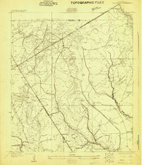
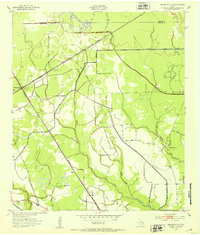
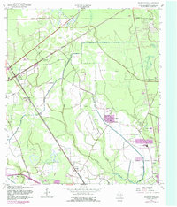
Historical Maps of Coughlin Through Time
4 maps found