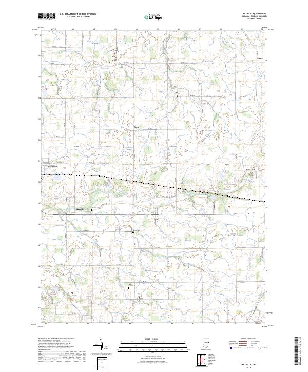
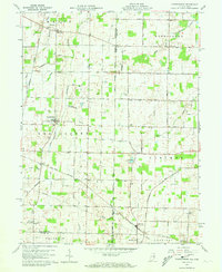
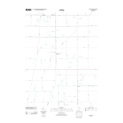
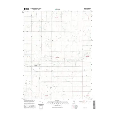
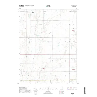
2022 Map of Maxville
USGS Topo · Published 2022About this map
White River drainage dominates this section of Randolph County, where the historic settlements of Farmland and Maxville anchor the local road network. The landscape is defined by its agricultural layout, organized by section lines and intersected by several small waterways including Bush Creek and Eightmile Creek. Local history is preserved through several family and community burial grounds such as Mosier Cemetery and Sparrow Creek Cemetery, which offer valuable geographic data points for genealogists tracing early families in the region. The small community of Mull and the Woodlawn Cemetery further illustrate the established rural settlement patterns that have persisted into the modern era. Diverse water features like Denton Ditch and Stevens Ditch reflect the historical and ongoing management of the fertile Indiana soils for local farming.
Find a feature on this map
65 named features on this map. Tap any name to fly to it.
Don’t see what you’re looking for? This feature index may not catch every label — zoom into the map to look around manually.
Map Details
Editions of this 2022 Maxville Map
This is the sole edition of this map. No revisions or reprints were ever made.
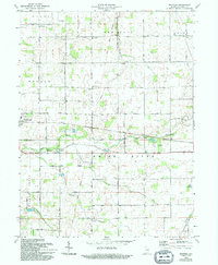
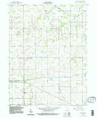
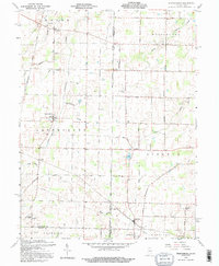
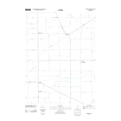
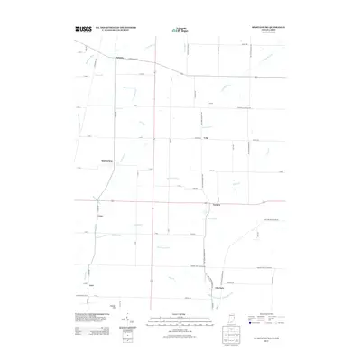
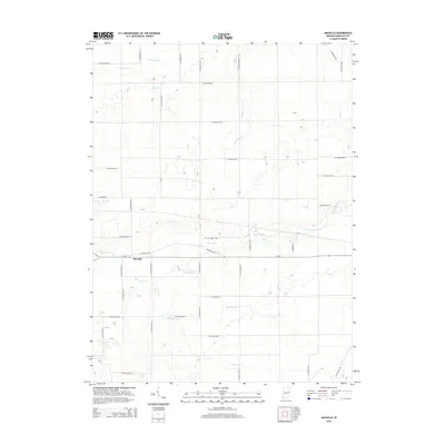
Historical Maps of Farmland Through Time
27 maps found
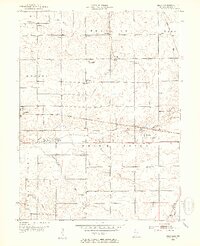
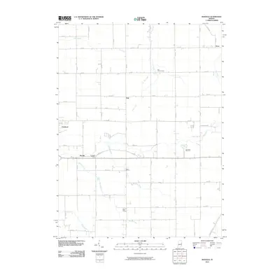
1952 Maxville
Randolph County, IN
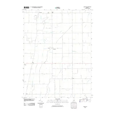
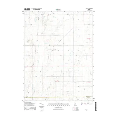
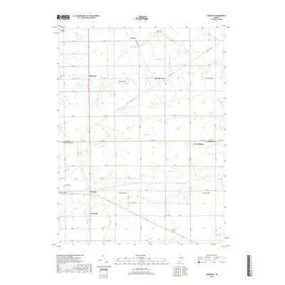
1960 Carlos
Randolph County, IN
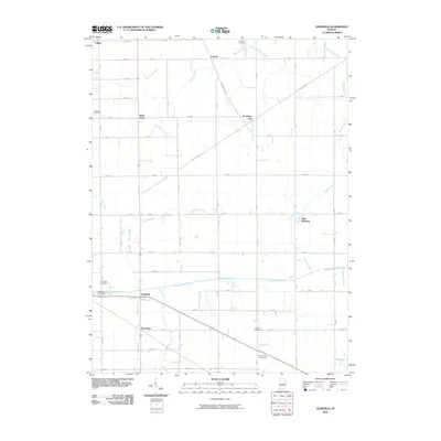
1960 Deerfield
Randolph County, IN
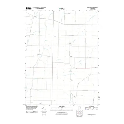
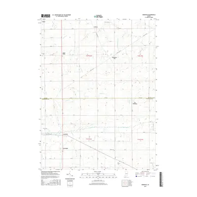
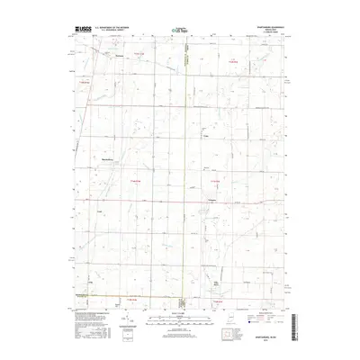
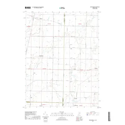
1960 Spartanburg
Randolph County, IN
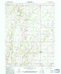
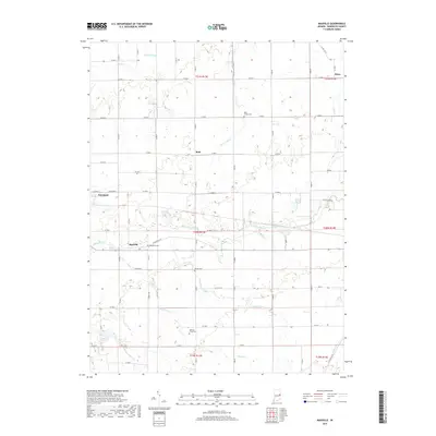
1969 Maxville
Randolph County, IN
1992 Deerfield
Randolph County, IN
1992 Spartanburg
Randolph County, IN
2010 Carlos
Randolph County, IN
2010 Deerfield
Randolph County, IN
2010 Maxville
Randolph County, IN
2010 Spartanburg
Randolph County, IN
2013 Carlos
Randolph County, IN
2013 Deerfield
Randolph County, IN
2013 Spartanburg
Randolph County, IN
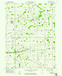
2014 Maxville
Randolph County, IN
2016 Carlos
Randolph County, IN
2016 Deerfield
Randolph County, IN
2016 Maxville
Randolph County, IN
2016 Spartanburg
Randolph County, IN
2019 Carlos
Randolph County, IN
2019 Deerfield
Randolph County, IN
2019 Maxville
Randolph County, IN
2019 Spartanburg
Randolph County, IN
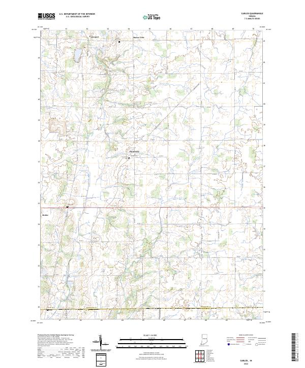
2022 Carlos
Randolph County, IN
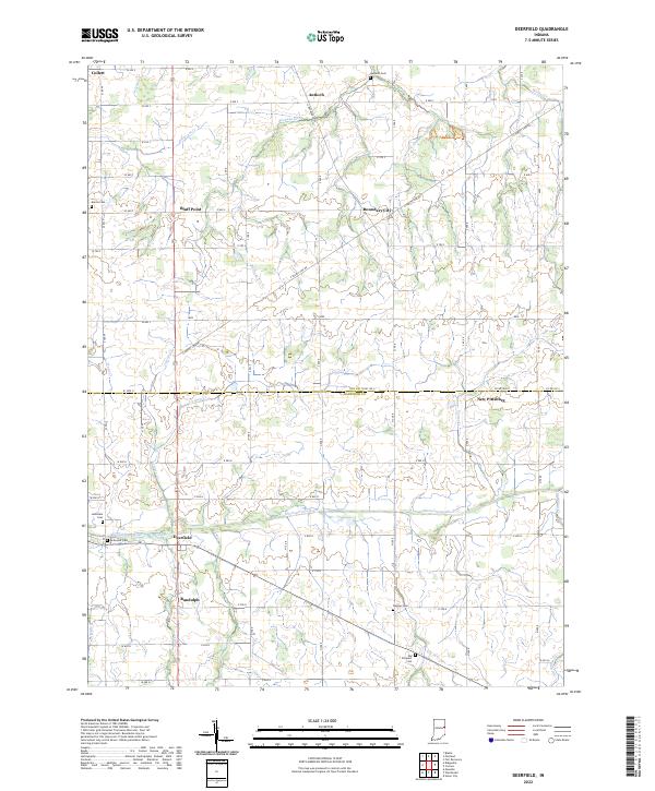
2022 Deerfield
Randolph County, IN
2022 Maxville
Randolph County, IN
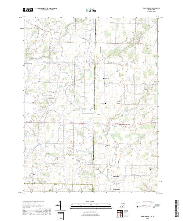
2022 Spartanburg
Randolph County, IN