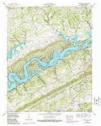
2022 Map of Maynardville
USGS Topo · Published 2022About this map
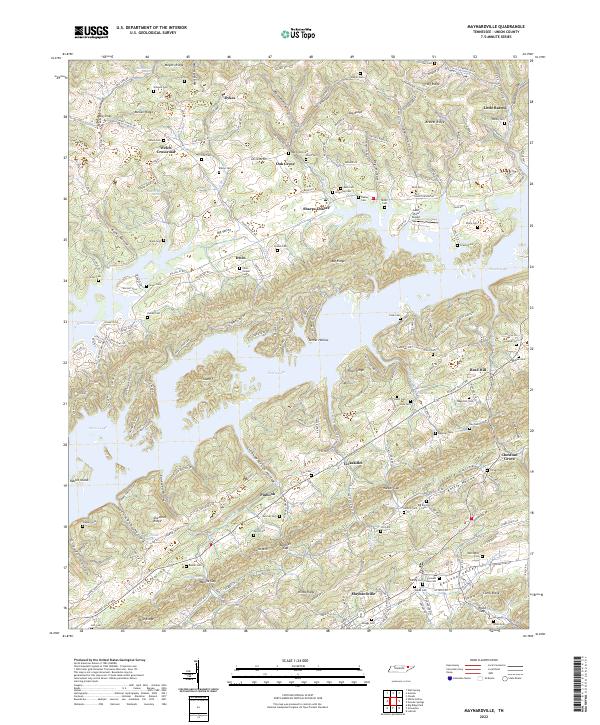
Maynardville serves as a central hub in this landscape of deep ridges and intricate valleys, where the waters of Norris Lake have reshaped the historical topography. The map reveals a dense network of family-named cemeteries such as Beeler Cem and Wattington Cem, reflecting the deep-rooted genealogical history of Union County. Settlements like Sharps Chapel and Oak Grove are situated along the elevated ridges, while names like Lickskillet and Pinhook highlight the local vernacular of these smaller communities.
Find a feature on this map
110 named features on this map. Tap any name to fly to it.
Don’t see what you’re looking for? This feature index may not catch every label — zoom into the map to look around manually.
Map Details
Editions of this 2022 Maynardville Map
This is the sole edition of this map. No revisions or reprints were ever made.
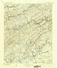
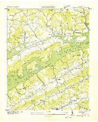
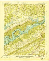
Historical Maps of Union Through Time
6 maps found