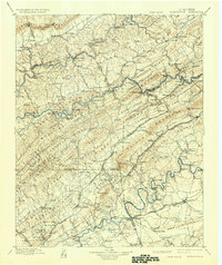
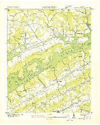
1952 Map of Maynardville
USGS Topo · Published 1988About this map
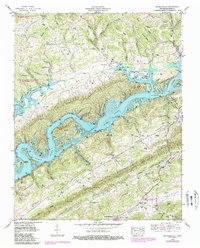
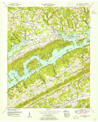
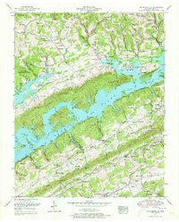
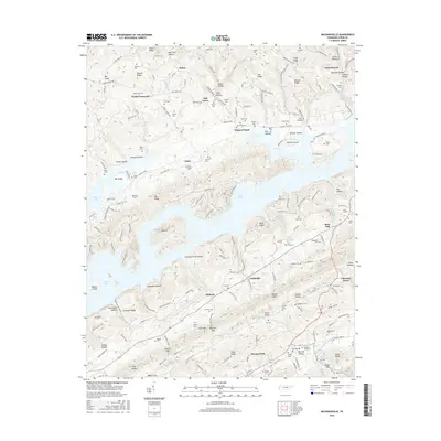
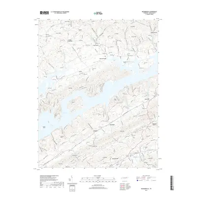
The waters of Norris Lake and the Clinch River dominate this landscape, reflecting the mid-20th-century topography of the area surrounding Maynardville. The map documents a rural society built upon the ridges and valleys of Union County, where family life centered on numerous small burial grounds like Big Barren Cem and Rose Hill Cem. The presence of Lakeview Airpark and the Sky Park Fishing Lodge along the shoreline signals the transition from a purely agricultural river valley to a recreational landscape following the Tennessee Valley Authority's projects. In the more isolated northwest, the Chuck Swan Forest and Wildlife Management Area preserves a massive tract of land between the river bends. This survey also records several commercial and community landmarks that served the surrounding hills, including Ellisons Store and the local gathering place at Sharps Chapel.
Find a feature on this map
98 named features on this map. Tap any name to fly to it.
Don’t see what you’re looking for? This feature index may not catch every label — zoom into the map to look around manually.
Map Details
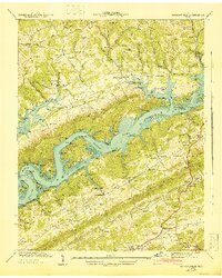
Editions of this 1952 Maynardville Map
3 editions found
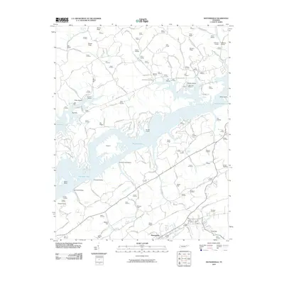
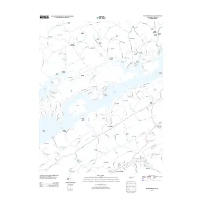
Historical Maps of Maynardville Through Time
10 maps found

1897 Maynardville
Union County, TN
1900 Maynardville
Union County, TN
1936 Maynardville
Union County, TN
1941 Maynardville
Union County, TN
1952 Maynardville
Union County, TN
2010 Maynardville
Union County, TN
2013 Maynardville
Union County, TN
2016 Maynardville
Union County, TN
2019 Maynardville
Union County, TN
2022 Maynardville
Union County, TN