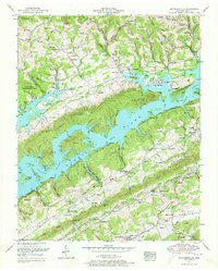
1952 Map of Maynardville
USGS Topo · Published 1973About this map
Norris Lake dominates this landscape, its waters filling the valleys and surrounding prominent landforms like Island F and Rabbit Island. This 1952 revision captures the area after the Clinch River was transformed, showing the Norris Reservation Boundary and the extensive Chuck Swan Management Area. The settlement pattern reflects a mix of traditional Appalachian valley life and mid-century recreation, with landmarks like the Berry-Peters Mill and Ellisons Store coexisting with the Lakeview Airpark and Sky Park Fishing Lodge.
Find a feature on this map
98 named features on this map. Tap any name to fly to it.
Don’t see what you’re looking for? This feature index may not catch every label — zoom into the map to look around manually.
Map Details
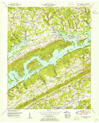
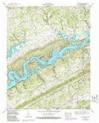
Editions of this 1952 Maynardville Map
3 editions found
Other maps of this area

1897 · Maynardville
USGS Topo · 1:125,000

1900 · Maynardville
USGS Topo · 1:125,000

1935 · Luttrell
USGS Topo · 1:24,000

1935 · Straw Plains
USGS Topo · 1:48,000

1935 · Graveston
USGS Topo · 1:24,000

1935 · Well Spring
USGS Topo · 1:24,000

1936 · Gorryton
USGS Topo · 1:48,000

1936 · Powder Springs
USGS Topo · 1:24,000

1936 · Ausmus
USGS Topo · 1:24,000
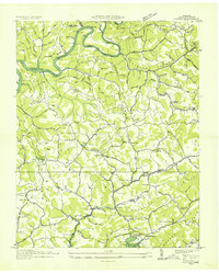
1936 · Clouds
USGS Topo · 1:24,000