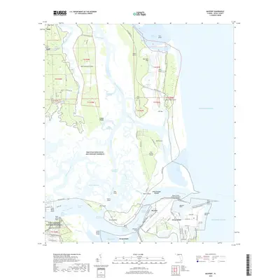
2018 Map of Mayport
USGS Topo · Published 2018About this map
The maritime landscape of Mayport and the surrounding islands of Duval County are defined by the convergence of the Saint Johns River and the Atlantic Ocean. This coastal region is anchored by the NS Mayport naval facilities and the Mayport Naval Station, while the extensive wetlands of the Timucuan Ecological and Historic Preserve protect the archaeological and natural heritage of the area. Significant historical markers include the Fort Caroline National Memorial and the Fort George Island cultural sites.
Find a feature on this map
133 named features on this map. Tap any name to fly to it.
Don’t see what you’re looking for? This feature index may not catch every label — zoom into the map to look around manually.
Map Details
Editions of this 2018 Mayport Map
This is the sole edition of this map. No revisions or reprints were ever made.
Other maps of this area

1918 · St Marys
USGS Topo · 1:62,500

1918 · Jacksonville
USGS Topo · 1:62,500

1918 · Mayport
USGS Topo · 1:62,500

1919 · Fernandina
USGS Topo · 1:62,500

1919 · St Marys
USGS Topo · 1:62,500

1944 · Fernandina
USGS Topo · 1:62,500

1948 · Jacksonville
USGS Topo · 1:250,000

1948 · Jacksonville Beach
USGS Topo · 1:24,000

1948 · Eastport
USGS Topo · 1:24,000

1949 · Jacksonville Beach
USGS Topo · 1:24,000
Featured Places
- Jacksonville, FL
- Fort George Island, Jacksonville
- Mayport, Jacksonville
- East Mayport, Jacksonville
- Duval County, FL