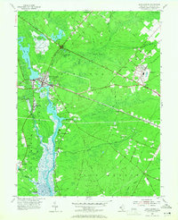
1955 Map of Mays Landing
USGS Topo · Published 1965About this map
The Great Egg Harbor River carves through this mid-century landscape, serving as the central artery for a series of riverside settlements including Mays Landing, Belcoville, and Catawba. To the east, the Atlantic City Racetrack and the Pennsylvania Reading Seashore Lines define the area's mid-century transit and leisure economy, while the Black Horse Pike cuts a straight path toward the coast. Industrial and agricultural footprints are visible in the Cranberry Bogs near Lake Lenape and scattered Brick Kilns near the riverbanks. The interior is a mosaic of wetlands like Babcock Swamp and small landings such as Steelman Landing, reflecting an era before the heavy suburbanization of Atlantic County. For genealogists, the map preserves the exact locations of many family-named landmarks and the Union Cem.
Find a feature on this map
67 named features on this map. Tap any name to fly to it.
Don’t see what you’re looking for? This feature index may not catch every label — zoom into the map to look around manually.
Map Details
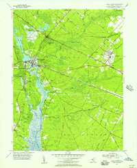
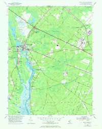
Editions of this 1955 Mays Landing Map
3 editions found
Other maps of this area

1890 · Great Egg Harbor
USGS Topo · 1:62,500

1890 · Hammonton
USGS Topo · 1:62,500

1890 · Tuckahoe
USGS Topo · 1:62,500

1890 · Mullica
USGS Topo · 1:62,500

1893 · Great Egg Harbor
USGS Topo · 1:62,500

1893 · Tuckahoe
USGS Topo · 1:62,500

1894 · Hammonton
USGS Topo · 1:62,500

1894 · Mullica
USGS Topo · 1:62,500

1898 · Mullica
USGS Topo · 1:62,500

1898 · Hammonton
USGS Topo · 1:62,500
Featured Places
- Egg Harbor Township, NJ
- Galloway Township, NJ
- Hamilton Township, NJ
- Weymouth Township, NJ
- Estell Manor, NJ