Loading...
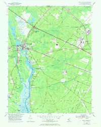
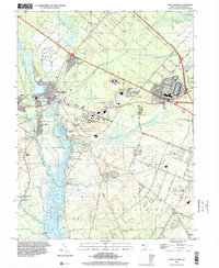
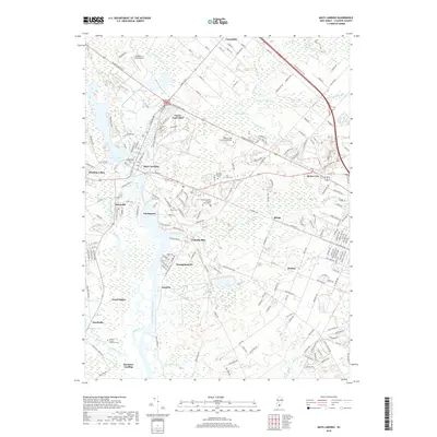
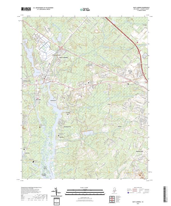
Loading map...1955 Map of Mays Landing
USGS Topo · Published 1973About this map
The Great Egg Harbor River carves through the center of this New Jersey coastal plain landscape, serving as a focal point for historic settlements like Mays Landing and Belcoville. This survey, compiled from 1950s data with early 1970s revisions, illustrates the era when the Pennsylvania Reading Seashore Lines and the Atlantic City Expressway (Toll Road) provided critical transport links through the dense swamp and pine barrens.
Find a feature on this map
69 named features on this map. Tap any name to fly to it.
Don’t see what you’re looking for? This feature index may not catch every label — zoom into the map to look around manually.
Map Details
Date Portrayed1955
Date Published1973
PublisherU.S. Geological Survey
Map TypeTopographic
Scale1:24,000
Physical Dimensions21.5 x 27.1 inches
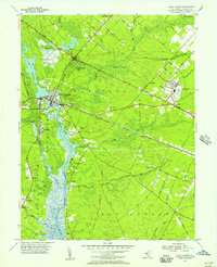
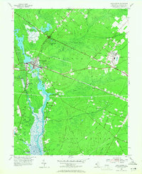
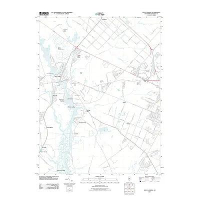
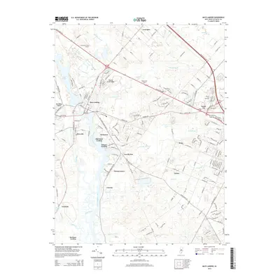
Editions of this 1955 Mays Landing Map
3 editions found
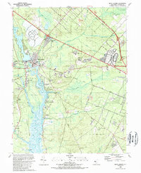
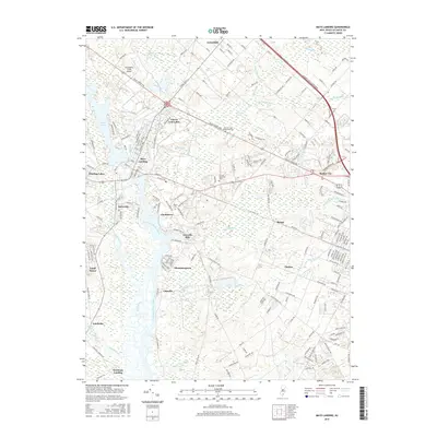
Historical Maps of Egg Harbor Township Through Time
8 maps found
Featured Locations
- Galloway Township, NJ
- Hamilton Township, NJ
- Weymouth Township, NJ
- Egg Harbor Township, NJ
- Estell Manor, NJ
Source Details
SourceU.S. Geological Survey
CopyrightPublic Domain