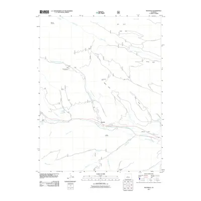
2011 Map of Maysville
USGS Topo · Published 2011About this map
The settlement of Maysville sits at the junction of several critical watercourses, including the South Arkansas River and the North Fork South Arkansas River. This high-altitude landscape is defined by its deep mining history, evidenced by the presence of the Independence Mine, Copper King Mine, and Springfield Mine. The area's agricultural and industrial water management is clearly visible through a complex network of ditches, such as the Cameron Ditch, North Fork Ditch, and Missouri Park Ditch, which redirect water toward the community of Missouri Park. To the north, the terrain rises toward Mount Shavano, with landmarks like Shavano Lake and Blank Cabin situated along the mountain's drainages. Transportation through the canyons relies on a web of forest and county roads, including Co Rd 222 and the Tabeguache Tr, providing access to remote features like the Angel of Shavano Campground.
Find a feature on this map
54 named features on this map. Tap any name to fly to it.
Don’t see what you’re looking for? This feature index may not catch every label — zoom into the map to look around manually.
Map Details
Editions of this 2011 Maysville Map
This is the sole edition of this map. No revisions or reprints were ever made.
Other maps of this area

1940 · Garfield
USGS Topo · 1:62,500

1945 · Garfield
USGS Topo · 1:62,500

1956 · Poncha Springs
USGS Topo · 1:62,500

1956 · Montrose
USGS Topo · 1:250,000

1959 · Montrose
USGS Topo · 1:250,000

1959 · Bonanza
USGS Topo · 1:62,500

1960 · Montrose
USGS Topo · 1:250,000

1967 · Pahlone Peak
USGS Topo · 1:24,000

1968 · Montrose
USGS Topo · 1:250,000
1980 · Poncha Pass
USGS Topo · 1:24,000