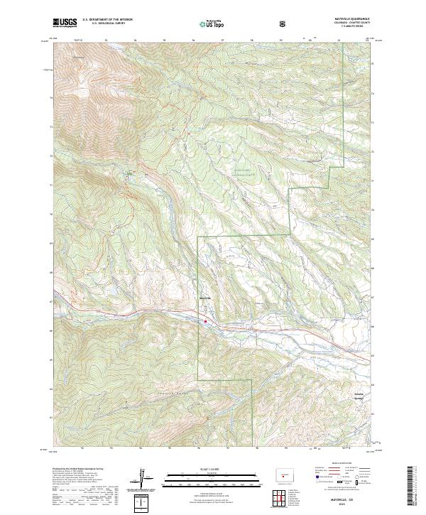
2023 Map of Maysville
USGS Topo · Published 2023About this map
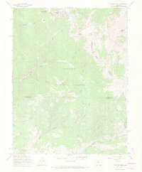
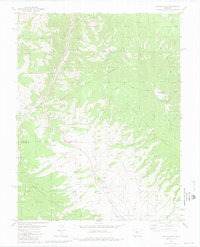
The Sawatch Range dominates this landscape, rising to the prominent peak of Mt Shavano in the northwest corner. This 2023 survey illustrates the rugged high-altitude topography of the San Isabel National Forest, where the Mt Shavano Trl and the famous Colorado Trl wind through steep gulches like Mill Gulch and Cedar Gulch. In the lower elevations, the settlement of Maysville sits along the South Arkansas River, serving as a gateway to the peaks above.
Find a feature on this map
55 named features on this map. Tap any name to fly to it.
Don’t see what you’re looking for? This feature index may not catch every label — zoom into the map to look around manually.
Map Details
Editions of this 2023 Maysville Map
This is the sole edition of this map. No revisions or reprints were ever made.
Other maps of this area

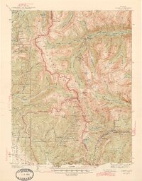
1940 · Garfield
USGS Topo · 1:62,500
1945 · Garfield
USGS Topo · 1:62,500
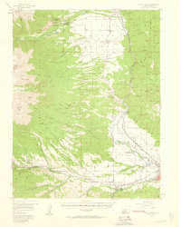
1956 · Poncha Springs
USGS Topo · 1:62,500

1956 · Montrose
USGS Topo · 1:250,000

1959 · Montrose
USGS Topo · 1:250,000
1959 · Bonanza
USGS Topo · 1:62,500

1960 · Montrose
USGS Topo · 1:250,000
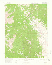
1967 · Pahlone Peak
USGS Topo · 1:24,000

1968 · Montrose
USGS Topo · 1:250,000
1980 · Poncha Pass
USGS Topo · 1:24,000