2021 Map of Maysville
USGS Topo · Published 2021About this map
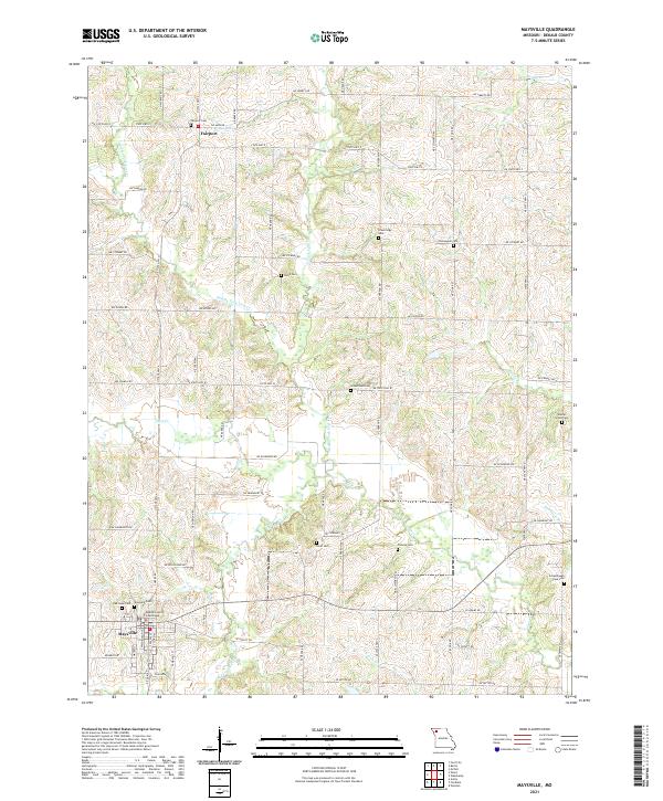
The DeKalb County Courthouse stands as the central landmark in Maysville, the county seat of this agricultural region in northwest Missouri. The landscape is defined by the branching tributaries of the Grand River system, including Middle Fork Lost Cr, Peach Cr, and Muddy Cr. This 2021 survey illustrates a well-developed network of rural roads such as NE Liberty Rd and State Hwy E that connect the small settlement of Fairport in the northwest to the larger hub of Maysville in the southwest. Genealogists will find an exceptional density of burial sites across the township, ranging from the large Maysville Cem and Oak Lawn Cem to smaller family and community plots like Norwegian Cem, Cope Cem, and Wood Cem, many of which are tucked away near creek bends or rural intersections.
Find a feature on this map
63 named features on this map. Tap any name to fly to it.
Don’t see what you’re looking for? This feature index may not catch every label — zoom into the map to look around manually.
Map Details
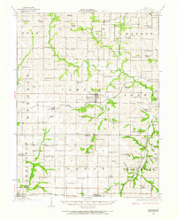
Editions of this 2021 Maysville Map
This is the sole edition of this map. No revisions or reprints were ever made.
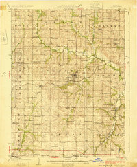
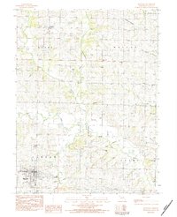
Historical Maps of Camden Township Through Time
4 maps found
Featured Locations
- Adams Township, MO
- Camden Township, MO
- Dallas Township, MO
- Maysville, Camden Township
- Fairport, Grant Township