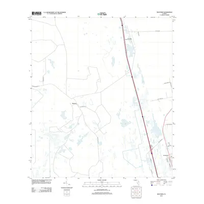
2012 Map of Maytown
USGS Topo · Published 2012About this map
Scottsmoor anchors the southeastern corner of this landscape, situated near the boundary where developed plots meet the expansive wetlands and pine flatwoods of East Central Florida. The settlement of Maytown appears as a key point of intersection for local routes, including Osteen Maytown Rd and Maytown Rd, reflecting the area's history as a crossroads. The terrain is defined by a complex network of water and drainage, characterized by Challenger Lake and numerous unnamed ponds and marshes that dictate the layout of the road system.
Find a feature on this map
22 named features on this map. Tap any name to fly to it.
Don’t see what you’re looking for? This feature index may not catch every label — zoom into the map to look around manually.
Map Details
Editions of this 2012 Maytown Map
This is the sole edition of this map. No revisions or reprints were ever made.
Other maps of this area

1949 · Oak Hill
USGS Topo · 1:24,000

1949 · Mims
USGS Topo · 1:24,000

1949 · Osceola
USGS Topo · 1:24,000

1950 · Maytown
USGS Topo · 1:24,000

1950 · Ariel
USGS Topo · 1:24,000

1950 · Edgewater
USGS Topo · 1:24,000

1950 · Aurantia
USGS Topo · 1:24,000

1952 · Mims
USGS Topo · 1:24,000

1953 · Geneva
USGS Topo · 1:24,000

1955 · Orlando
USGS Topo · 1:250,000