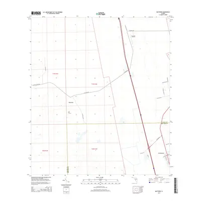
2015 Map of Maytown
USGS Topo · Published 2015About this map
Maytown and Scottsmoor anchor this landscape along the Volusia and Brevard County line in the mid-2010s. The geography is defined by a network of rural groves and access roads, including Reed Grove Rd, Turnbull Grove Rd, and McGee Grove Rd, reflecting the area's agricultural character. A notable cultural landmark is the Davis Grave Site, which provides a specific point of interest for local historians and genealogists studying family ties in this part of Florida.
Find a feature on this map
25 named features on this map. Tap any name to fly to it.
Don’t see what you’re looking for? This feature index may not catch every label — zoom into the map to look around manually.
Map Details
Editions of this 2015 Maytown Map
This is the sole edition of this map. No revisions or reprints were ever made.
Other maps of this area

1949 · Oak Hill
USGS Topo · 1:24,000

1949 · Mims
USGS Topo · 1:24,000

1949 · Osceola
USGS Topo · 1:24,000

1950 · Maytown
USGS Topo · 1:24,000

1950 · Ariel
USGS Topo · 1:24,000

1950 · Edgewater
USGS Topo · 1:24,000

1950 · Aurantia
USGS Topo · 1:24,000

1952 · Mims
USGS Topo · 1:24,000

1953 · Geneva
USGS Topo · 1:24,000

1955 · Orlando
USGS Topo · 1:250,000