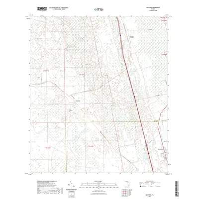
2021 Map of Maytown
USGS Topo · Published 2021About this map
Maytown and Scottsmoor anchor this portion of the Florida coast, where the landscape is defined by the extensive Spruce Creek Swamp and the intersection of historic transit routes. The presence of the East Central Regional Rail Trl, which follows a long-standing railroad corridor, speaks to the area's transition from a rail-dependent industrial past to a modern recreational landscape. Local history and genealogy interest is concentrated at the Davis Grave Site, a solitary landmark set against the wetlands west of the Volusia and Brevard County line. While the eastern edge shows the residential clustering of Scottsmoor along Vermont St and Travis St, the western reaches remain primarily undeveloped, dominated by water features like Little Lake and the Blue Ridge Flightpark aviation field.
Find a feature on this map
27 named features on this map. Tap any name to fly to it.
Don’t see what you’re looking for? This feature index may not catch every label — zoom into the map to look around manually.
Map Details
Editions of this 2021 Maytown Map
This is the sole edition of this map. No revisions or reprints were ever made.
Other maps of this area

1949 · Oak Hill
USGS Topo · 1:24,000

1949 · Mims
USGS Topo · 1:24,000

1949 · Osceola
USGS Topo · 1:24,000

1950 · Maytown
USGS Topo · 1:24,000

1950 · Ariel
USGS Topo · 1:24,000

1950 · Edgewater
USGS Topo · 1:24,000

1950 · Aurantia
USGS Topo · 1:24,000

1952 · Mims
USGS Topo · 1:24,000

1953 · Geneva
USGS Topo · 1:24,000

1955 · Orlando
USGS Topo · 1:250,000