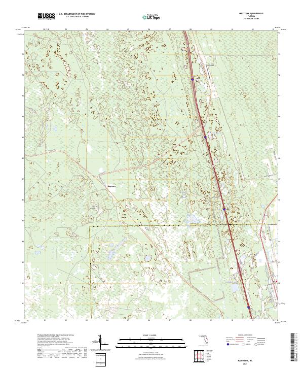
2024 Map of Maytown
USGS Topo · Published 2024About this map
Maytown serves as the focal point of this landscape, situated along the border of Volusia and Brevard counties. The area is defined by its extensive wetland systems, most notably the Spruce Creek Swamp which dominates the central and eastern portions of the quadrangle. Transport and recreation are integrated into the terrain through the East Central Regional Rail Trl, which follows a straight path through the swampy lowlands, likely tracing a former rail corridor that once linked these rural Florida outposts.
Find a feature on this map
27 named features on this map. Tap any name to fly to it.
Don’t see what you’re looking for? This feature index may not catch every label — zoom into the map to look around manually.
Map Details
Editions of this 2024 Maytown Map
This is the sole edition of this map. No revisions or reprints were ever made.
Other maps of this area

1949 · Oak Hill
USGS Topo · 1:24,000

1949 · Mims
USGS Topo · 1:24,000

1949 · Osceola
USGS Topo · 1:24,000

1950 · Maytown
USGS Topo · 1:24,000

1950 · Ariel
USGS Topo · 1:24,000

1950 · Edgewater
USGS Topo · 1:24,000

1950 · Aurantia
USGS Topo · 1:24,000

1952 · Mims
USGS Topo · 1:24,000

1953 · Geneva
USGS Topo · 1:24,000

1955 · Orlando
USGS Topo · 1:250,000