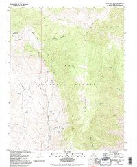
1994 Map of Mazourka Peak
USGS Topo · Published 1995About this map
Inyo Mountains topography dominates this 1994 survey, revealing a landscape defined by seasonal water sources and early mining activity. Within the Inyo National Forest, the terrain transitions from high summits like Mazourka Peak down to the broad expanses of Badger Flat and Santa Rita Flat. These flats serve as central drainage basins for numerous canyons, including Tamarack Canyon and Al Rose Canyon, which are etched with 4WD tracks that provide the primary access to this high-desert environment.
Find a feature on this map
30 named features on this map. Tap any name to fly to it.
Don’t see what you’re looking for? This feature index may not catch every label — zoom into the map to look around manually.
Map Details
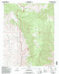
Editions of this 1994 Mazourka Peak Map
2 editions found
Other maps of this area

1907 · Mt. Whitney
USGS Topo · 1:125,000

1908 · Lida
USGS Topo · 1:250,000

1908 · Ballarat
USGS Topo · 1:250,000

1913 · Bishop
USGS Topo · 1:125,000

1913 · Lida
USGS Topo · 1:250,000

1913 · Ballarat
USGS Topo · 1:250,000

1919 · Mt. Whitney
USGS Topo · 1:125,000

1937 · Mt. Whitney
USGS Topo · 1:125,000

1947 · Mariposa
USGS Topo · 1:250,000

1948 · Death Valley
USGS Topo · 1:250,000