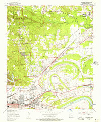
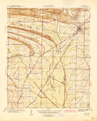
1954 Map of Mc Almont
USGS Topo · Published 1957About this map
North Little Rock and its surrounding communities are mapped here in the mid-1950s, revealing a landscape transitioning from rural parish life to suburban expansion. The area is dense with community anchors like the Sylvan Hills School, Woodson School, and numerous country churches including Clayton Chapel and Fairview Church. Local history is deeply etched into the terrain through family and community burial grounds such as Meacham Cemetery and Booker Cemetery.
Find a feature on this map
69 named features on this map. Tap any name to fly to it.
Don’t see what you’re looking for? This feature index may not catch every label — zoom into the map to look around manually.
Map Details
Editions of this 1954 Mc Almont Map
This is the sole edition of this map. No revisions or reprints were ever made.
Other maps of this area

1891 · Little Rock
USGS Topo · 1:125,000

1893 · Little Rock
USGS Topo · 1:125,000
1935 · Mc Almont
USGS Topo · 1:24,000
1935 · Little Rock
USGS Topo · 1:24,000
1935 · Sweet Home
USGS Topo · 1:24,000
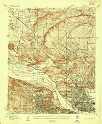
1935 · North Little Rock
USGS Topo · 1:24,000
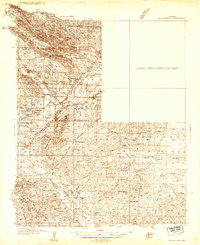
1935 · Alexander
USGS Topo · 1:48,000
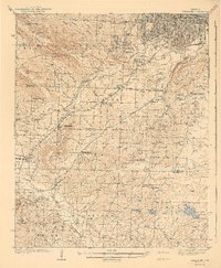
1941 · Alexander
USGS Topo · 1:62,500
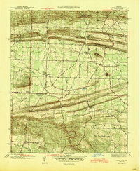
1941 · Olmstead
USGS Topo · 1:31,680
1941 · Cabot
USGS Topo · 1:31,680
Featured Places
- North Little Rock, AR
- Jacksonville, AR
- Sherwood, AR
- Lakewood, North Little Rock
- Millers Crossing, Sherwood