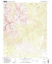
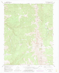
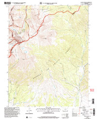
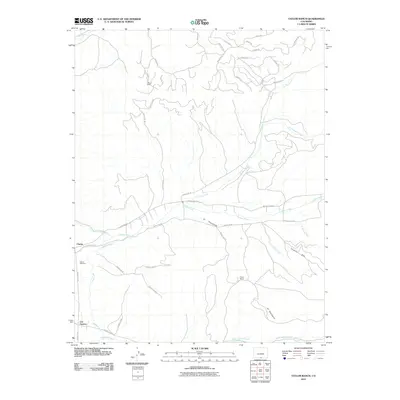
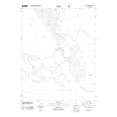
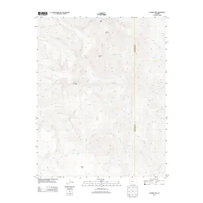
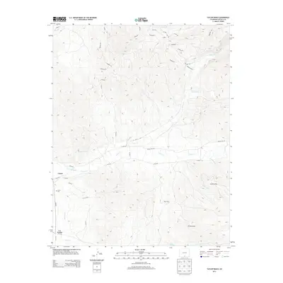
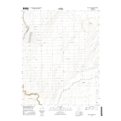
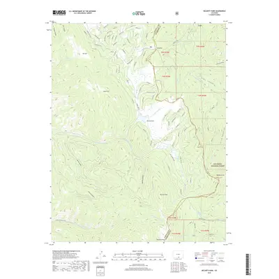
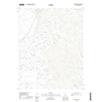
1994 Map of Mc Carty Park
USGS Topo · Published 1998About this map
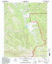
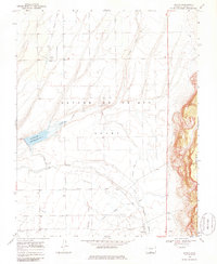
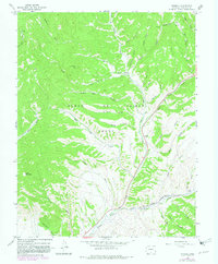
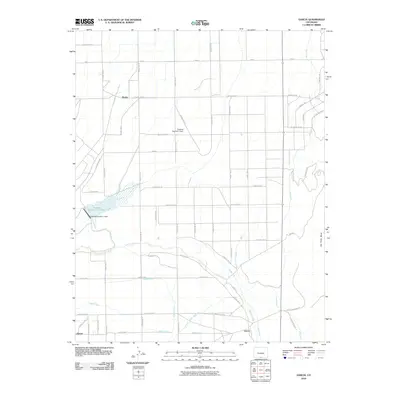
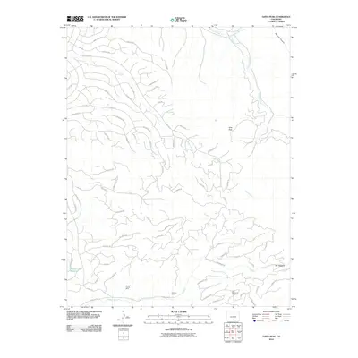
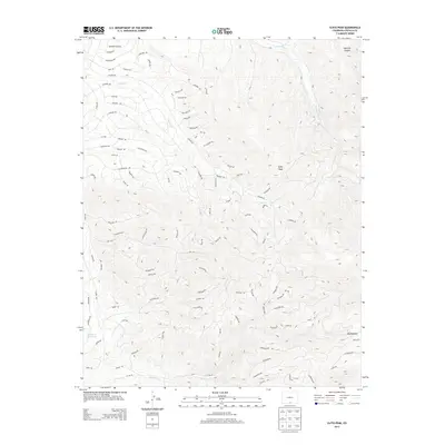
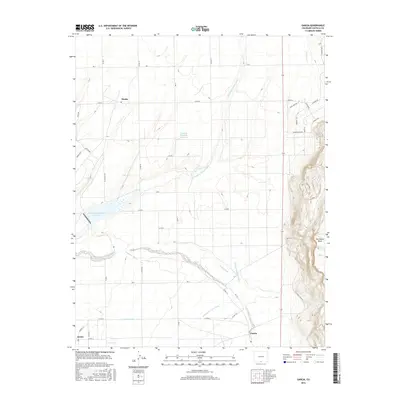
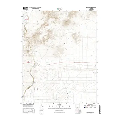
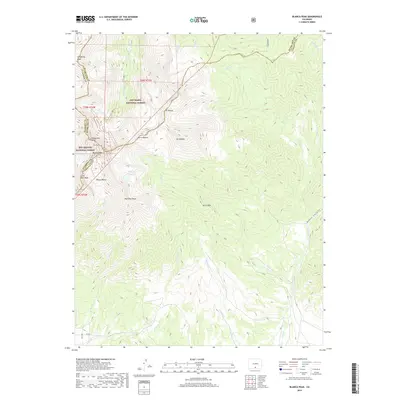
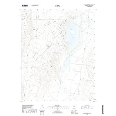
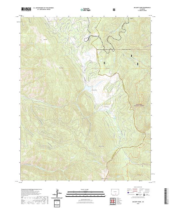
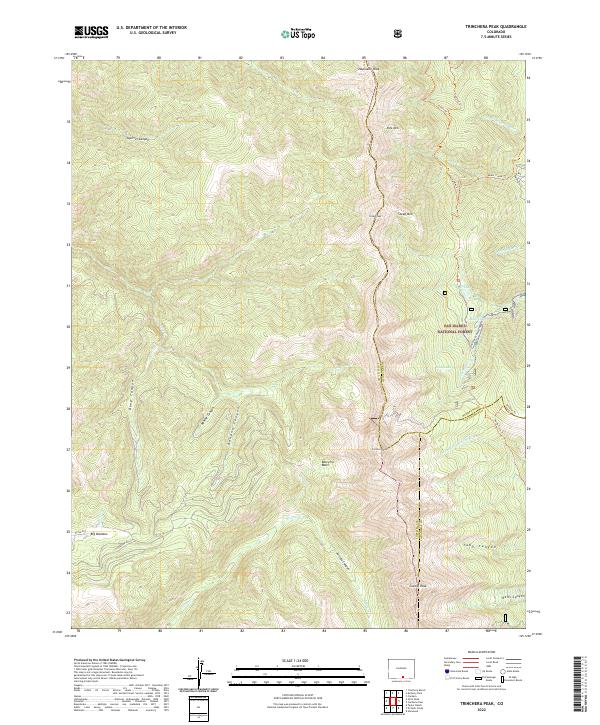
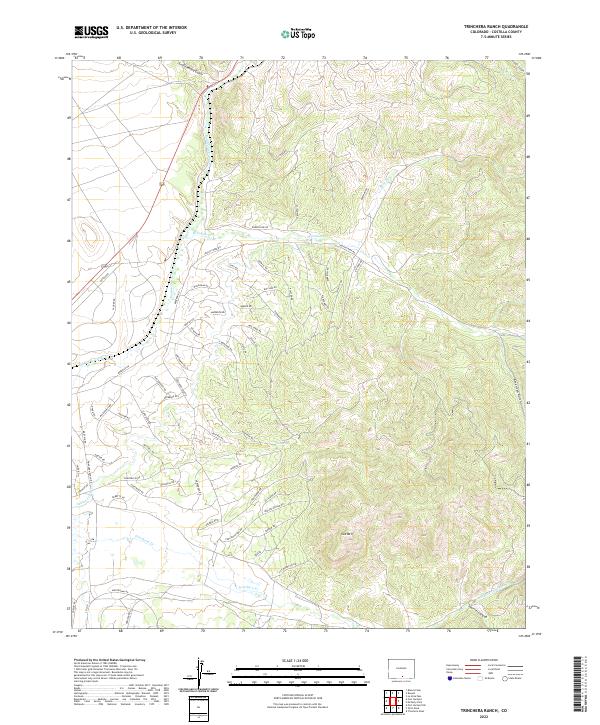
Sangre De Cristo Range peaks dominate this high-elevation landscape along the border of Costilla and Huerfano counties. High mountain drainage systems define the area, with the North Fork McCarty Creek and South Fork McCarty Creek converging in the central Mc Carty Park basin. This 1994 revision by the U.S. Forest Service highlights the cattle and ranching infrastructure of the era, notably McCarty Cow Camp and Red Gate Corral.
Find a feature on this map
37 named features on this map. Tap any name to fly to it.
Don’t see what you’re looking for? This feature index may not catch every label — zoom into the map to look around manually.
Map Details
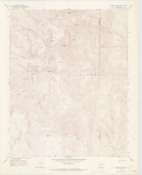
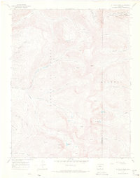
Editions of this 1994 Mc Carty Park Map
This is the sole edition of this map. No revisions or reprints were ever made.
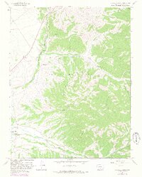
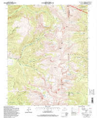
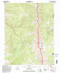
Historical Maps of Fir Through Time
106 maps found
1963 Mc Carty Park
Costilla County, CO
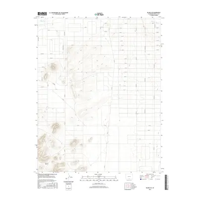
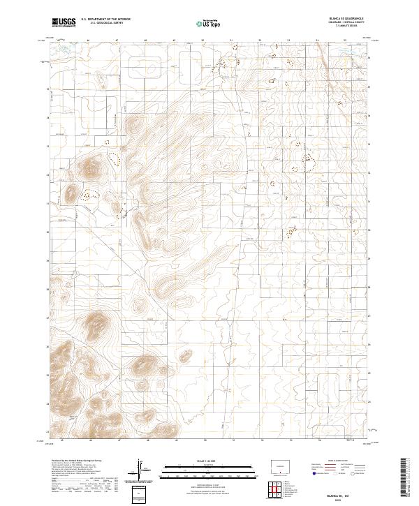
1965 Blanca SE
Costilla County, CO
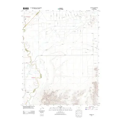
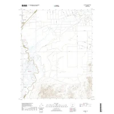
1965 Lasauses
Costilla County, CO
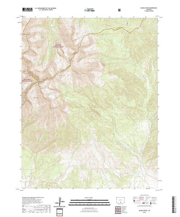
1967 Blanca Peak
Costilla County, CO
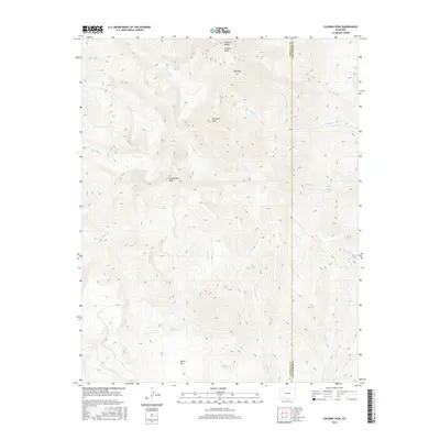
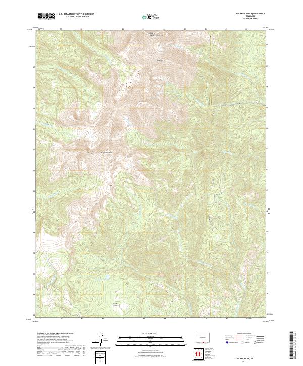
1967 Culebra Peak
Costilla County, CO
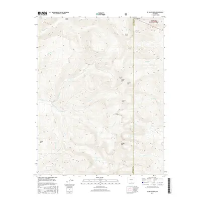
1967 El Valle Creek
Costilla County, CO
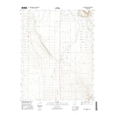
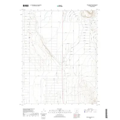
1967 Fort Garland SW
Costilla County, CO
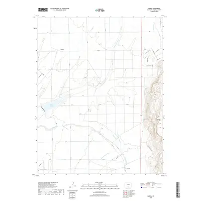
1967 Garcia
Costilla County, CO
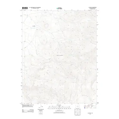
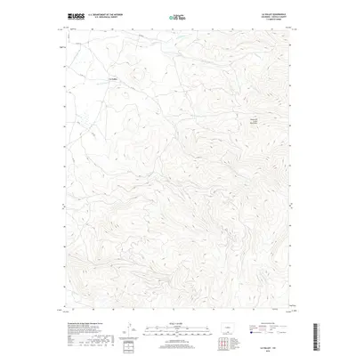
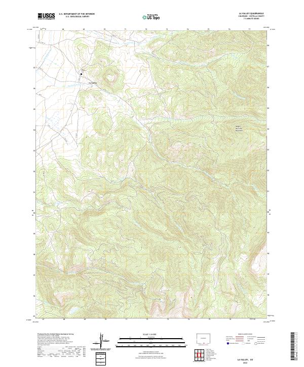
1967 La Valley
Costilla County, CO
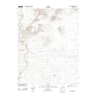
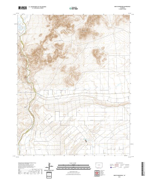
1967 Mesito Reservoir
Costilla County, CO
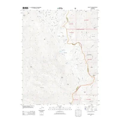
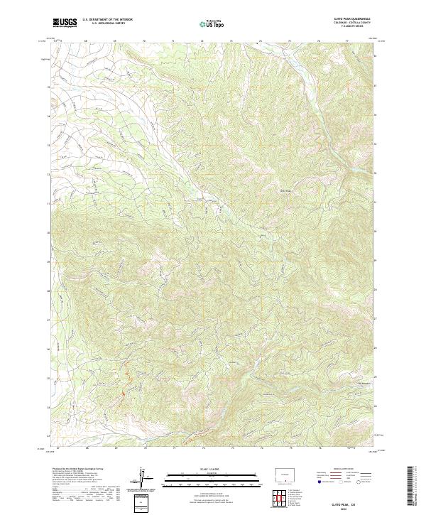
1967 Ojito Peak
Costilla County, CO
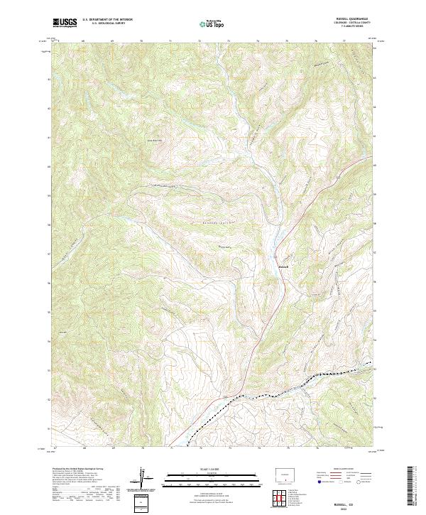
1967 Russell
Costilla County, CO
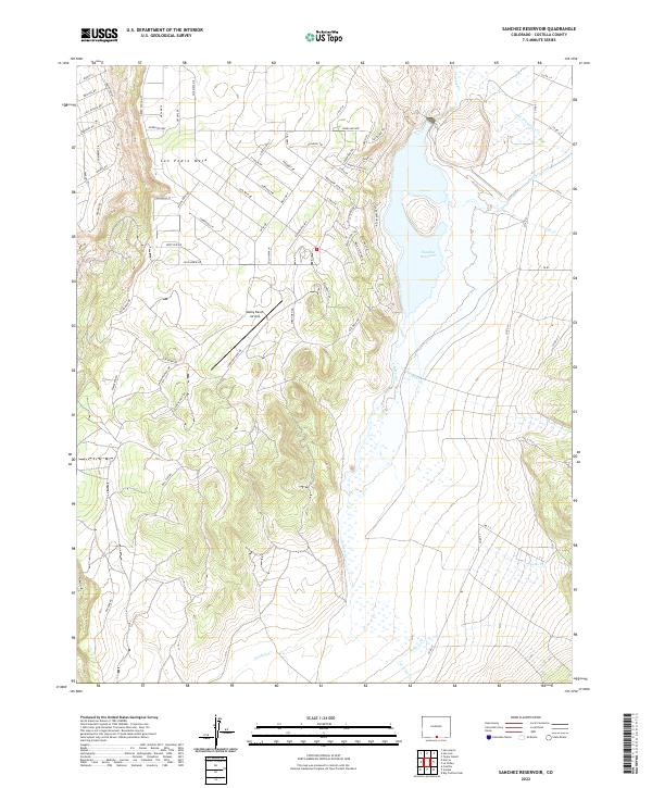
1967 Sanchez Reservoir
Costilla County, CO
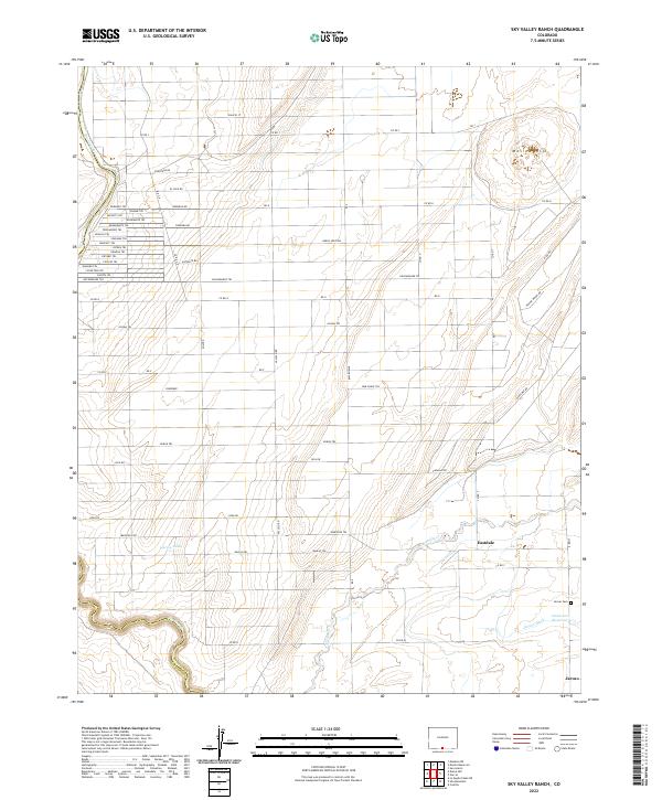
1967 Sky Valley Ranch
Costilla County, CO
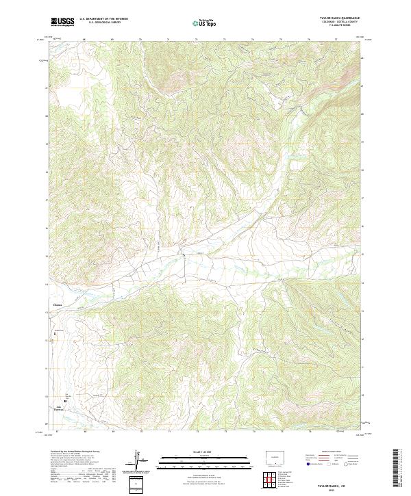
1967 Taylor Ranch
Costilla County, CO
1967 Trinchera Peak
Costilla County, CO
1967 Trinchera Ranch
Costilla County, CO
1994 El Valle Creek
Costilla County, CO
1994 Mc Carty Park
Costilla County, CO
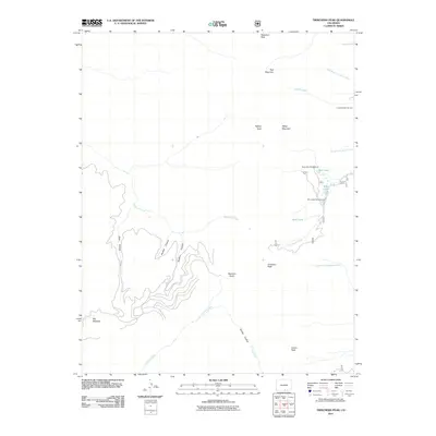
1994 Trinchera Peak
Costilla County, CO
2001 Blanca Peak
Costilla County, CO
2010 Blanca SE
Costilla County, CO
2010 Culebra Peak
Costilla County, CO
2010 Fort Garland SW
Costilla County, CO
2010 Garcia
Costilla County, CO
2010 Lasauses
Costilla County, CO
2010 La Valley
Costilla County, CO
2010 Mesito Reservoir
Costilla County, CO
2010 Ojito Peak
Costilla County, CO
2010 Russell
Costilla County, CO
2010 Sanchez Reservoir
Costilla County, CO
2010 Sky Valley Ranch
Costilla County, CO
2010 Taylor Ranch
Costilla County, CO
2010 Trinchera Ranch
Costilla County, CO
2011 Blanca Peak
Costilla County, CO
2011 El Valle Creek
Costilla County, CO
2011 McCarty Park
Costilla County, CO
2011 Trinchera Peak
Costilla County, CO
2013 Blanca Peak
Costilla County, CO
2013 Blanca SE
Costilla County, CO
2013 Culebra Peak
Costilla County, CO
2013 El Valle Creek
Costilla County, CO
2013 Fort Garland SW
Costilla County, CO
2013 Garcia
Costilla County, CO
2013 Lasauses
Costilla County, CO
2013 La Valley
Costilla County, CO
2013 McCarty Park
Costilla County, CO
2013 Mesito Reservoir
Costilla County, CO
2013 Ojito Peak
Costilla County, CO
2013 Russell
Costilla County, CO
2013 Sanchez Reservoir
Costilla County, CO
2013 Sky Valley Ranch
Costilla County, CO
2013 Taylor Ranch
Costilla County, CO
2013 Trinchera Peak
Costilla County, CO
2013 Trinchera Ranch
Costilla County, CO
2016 Blanca Peak
Costilla County, CO
2016 Blanca SE
Costilla County, CO
2016 Culebra Peak
Costilla County, CO
2016 El Valle Creek
Costilla County, CO
2016 Fort Garland SW
Costilla County, CO
2016 Garcia
Costilla County, CO
2016 Lasauses
Costilla County, CO
2016 La Valley
Costilla County, CO
2016 McCarty Park
Costilla County, CO
2016 Mesito Reservoir
Costilla County, CO
2016 Ojito Peak
Costilla County, CO
2016 Russell
Costilla County, CO
2016 Sanchez Reservoir
Costilla County, CO
2016 Sky Valley Ranch
Costilla County, CO
2016 Taylor Ranch
Costilla County, CO
2016 Trinchera Peak
Costilla County, CO
2016 Trinchera Ranch
Costilla County, CO
2019 Blanca Peak
Costilla County, CO
2019 Blanca SE
Costilla County, CO
2019 Culebra Peak
Costilla County, CO
2019 El Valle Creek
Costilla County, CO
2019 Fort Garland SW
Costilla County, CO
2019 Garcia
Costilla County, CO
2019 Lasauses
Costilla County, CO
2019 La Valley
Costilla County, CO
2019 McCarty Park
Costilla County, CO
2019 Mesito Reservoir
Costilla County, CO
2019 Ojito Peak
Costilla County, CO
2019 Russell
Costilla County, CO
2019 Sanchez Reservoir
Costilla County, CO
2019 Sky Valley Ranch
Costilla County, CO
2019 Taylor Ranch
Costilla County, CO
2019 Trinchera Peak
Costilla County, CO
2019 Trinchera Ranch
Costilla County, CO
2022 Blanca Peak
Costilla County, CO
2022 Blanca SE
Costilla County, CO
2022 Culebra Peak
Costilla County, CO
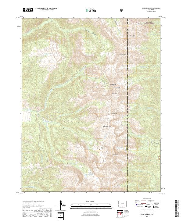
2022 El Valle Creek
Costilla County, CO
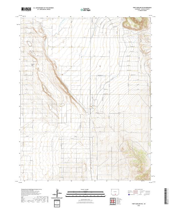
2022 Fort Garland SW
Costilla County, CO
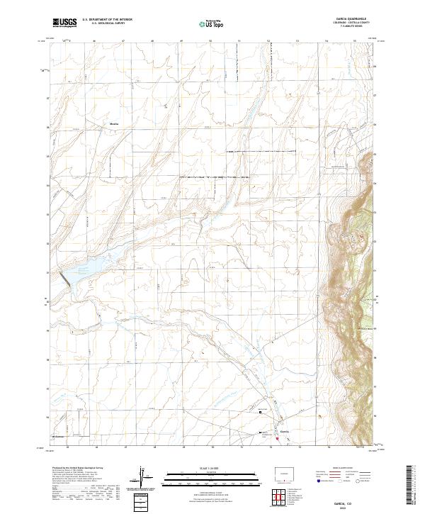
2022 Garcia
Costilla County, CO
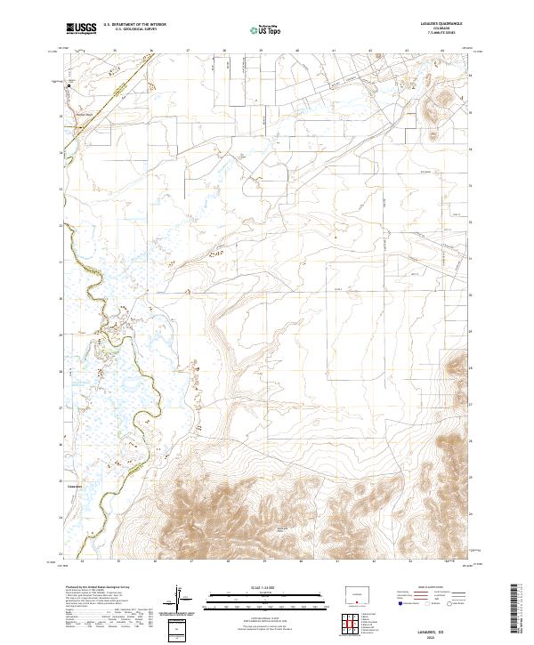
2022 Lasauses
Costilla County, CO
2022 La Valley
Costilla County, CO
2022 McCarty Park
Costilla County, CO
2022 Mesito Reservoir
Costilla County, CO
2022 Ojito Peak
Costilla County, CO
2022 Russell
Costilla County, CO
2022 Sanchez Reservoir
Costilla County, CO
2022 Sky Valley Ranch
Costilla County, CO
2022 Taylor Ranch
Costilla County, CO
2022 Trinchera Peak
Costilla County, CO
2022 Trinchera Ranch
Costilla County, CO