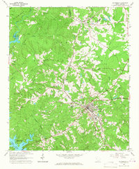
1964 Map of Mc Cormick
USGS Topo · Published 1967About this map
The town of McCormick serves as the focal point of this mid-1960s survey, situated at the junction of the Atlantic Coast Line railroad and several regional highways. The landscape is heavily defined by the winding reaches of the Clark Hill Reservoir and the Little River, which mark the western and southern boundaries of the surveyed area. Much of the northern terrain is occupied by the Sumter National Forest, a heavily wooded expanse bisected by numerous small waterways like Buffalo Creek and Cane Creek.
Find a feature on this map
40 named features on this map. Tap any name to fly to it.
Don’t see what you’re looking for? This feature index may not catch every label — zoom into the map to look around manually.
Map Details
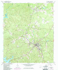
Editions of this 1964 Mc Cormick Map
2 editions found
Other maps of this area

1892 · Mc Cormick
USGS Topo · 1:125,000

1892 · Abbeville
USGS Topo · 1:125,000

1912 · Mc Cormick
USGS Topo · 1:125,000

1948 · Verdery
USGS Topo · 1:24,000

1949 · Calhoun Creek
USGS Topo · 1:24,000

1950 · Bradley
USGS Topo · 1:24,000

1950 · Verdery
USGS Topo · 1:24,000

1953 · Athens
USGS Topo · 1:250,000

1954 · Greenville
USGS Topo · 1:250,000

1958 · Greenville
USGS Topo · 1:250,000