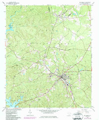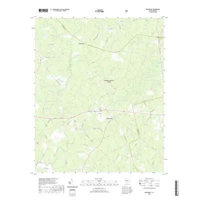
1965 Map of Winterseat
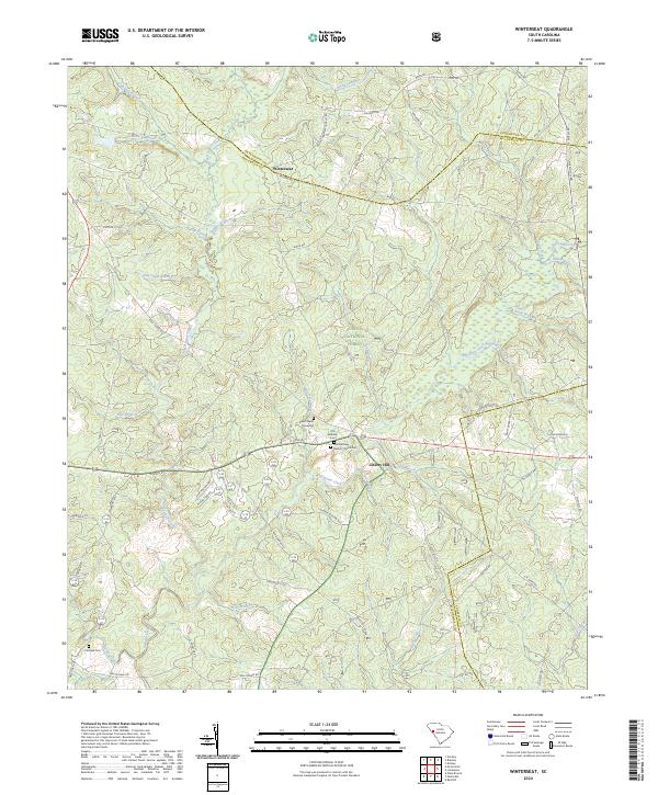
USGS Topo · Published 1987About this map
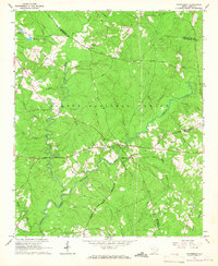
Sumter National Forest dominates much of this landscape in the mid-1960s, a period when the timberlands and rural crossroads of McCormick, Greenwood, and Edgefield counties remained deeply rooted in small-town civic life. The small settlement of Liberty Hill serves as a local hub, featuring a Community Hall and the Liberty Hill Lookout Tower standing over the surrounding ridges. To the north, the namesake community of Winterseat is situated near several family-named landmarks and water bodies like Goatneck Br and Hard Labor Creek. The map documents a high density of country churches that anchored these rural communities, including Mt Harmony Ch, Zion Chapel, and Tranquil Ch. A complex network of waterways, such as Cuffytown Creek and Long Cane Creek, underscores the reliance on natural drainage and traditional land use before more intensive modern development altered the South Carolina Piedmont's rural character.
Find a feature on this map
43 named features on this map. Tap any name to fly to it.
Don’t see what you’re looking for? This feature index may not catch every label — zoom into the map to look around manually.
Map Details
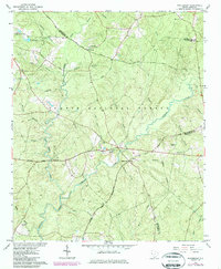
Editions of this 1965 Winterseat Map
2 editions found
Historical Maps of McCormick Through Time
7 maps found