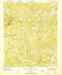
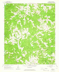
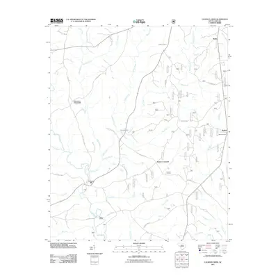
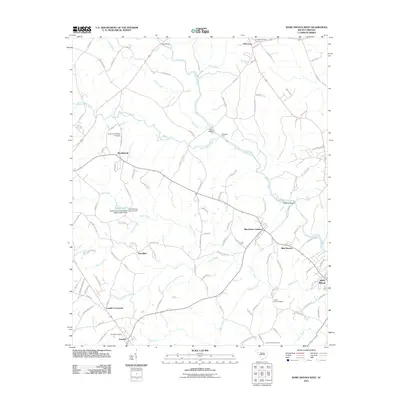
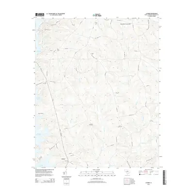
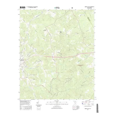
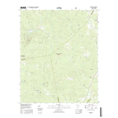
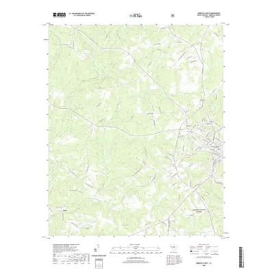
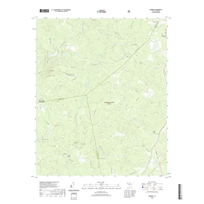
1950 Map of Verdery
USGS Topo · Published 1950About this map
Sumter National Forest encompasses much of this South Carolina landscape, where the headwaters and branches of Long Cane Creek and Reedy Branch define the topography. In 1950, this region at the intersection of Abbeville, Greenwood, and McCormick counties was primarily characterized by its rural religious and educational network. Small rural centers like Clatworthy Crossroads and Verdery appear alongside a dense concentration of community hubs, including Poplar Grove Chapel, Edney Chapel, and the Long Cane Sch.
Find a feature on this map
52 named features on this map. Tap any name to fly to it.
Don’t see what you’re looking for? This feature index may not catch every label — zoom into the map to look around manually.
Map Details
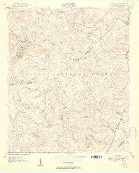
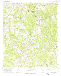
Editions of this 1950 Verdery Map
2 editions found
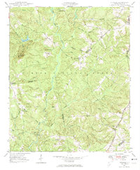
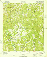
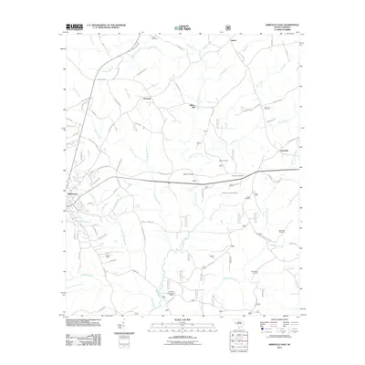
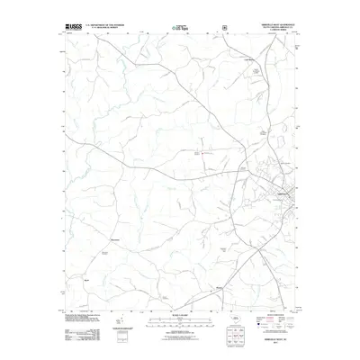
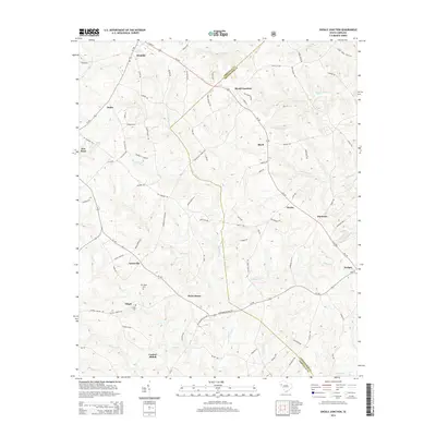
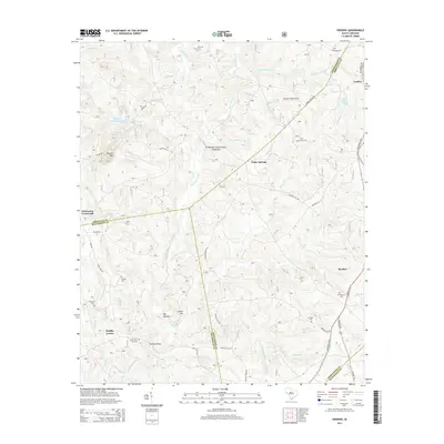
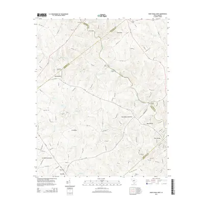
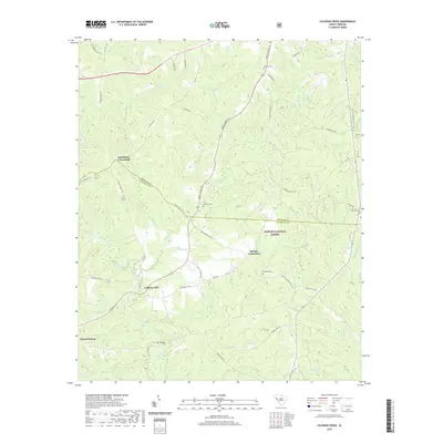
Historical Maps of Clatworthy Crossroads Through Time
44 maps found

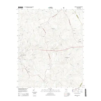
1948 Abbeville East
Abbeville County, SC

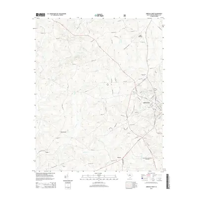
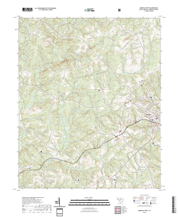
1948 Abbeville West
Abbeville County, SC
1948 Verdery
Abbeville County, SC
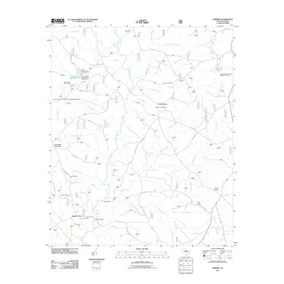
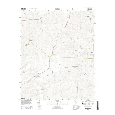
1949 Calhoun Creek
Abbeville County, SC

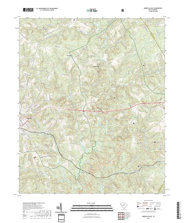
1950 Abbeville East
Abbeville County, SC
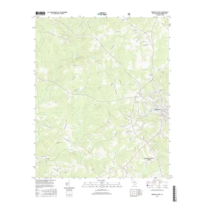
1950 Verdery
Abbeville County, SC
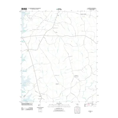
1964 Latimer
Abbeville County, SC
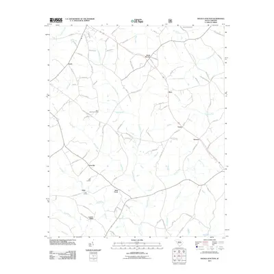
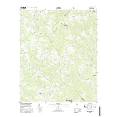
1971 Shoals Junction
Abbeville County, SC

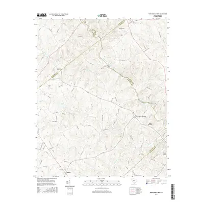
1971 Ware Shoals West
Abbeville County, SC
2011 Abbeville East
Abbeville County, SC
2011 Abbeville West
Abbeville County, SC
2011 Calhoun Creek
Abbeville County, SC
2011 Latimer
Abbeville County, SC
2011 Shoals Junction
Abbeville County, SC
2011 Verdery
Abbeville County, SC
2011 Ware Shoals West
Abbeville County, SC
2014 Abbeville East
Abbeville County, SC
2014 Abbeville West
Abbeville County, SC
2014 Calhoun Creek
Abbeville County, SC
2014 Latimer
Abbeville County, SC
2014 Shoals Junction
Abbeville County, SC
2014 Verdery
Abbeville County, SC
2014 Ware Shoals West
Abbeville County, SC
2017 Abbeville East
Abbeville County, SC
2017 Abbeville West
Abbeville County, SC
2017 Calhoun Creek
Abbeville County, SC
2017 Latimer
Abbeville County, SC
2017 Shoals Junction
Abbeville County, SC
2017 Verdery
Abbeville County, SC
2017 Ware Shoals West
Abbeville County, SC
2020 Abbeville East
Abbeville County, SC
2020 Abbeville West
Abbeville County, SC
2020 Calhoun Creek
Abbeville County, SC
2020 Latimer
Abbeville County, SC
2020 Shoals Junction
Abbeville County, SC
2020 Verdery
Abbeville County, SC
2020 Ware Shoals West
Abbeville County, SC
2024 Abbeville East
Abbeville County, SC
2024 Abbeville West
Abbeville County, SC
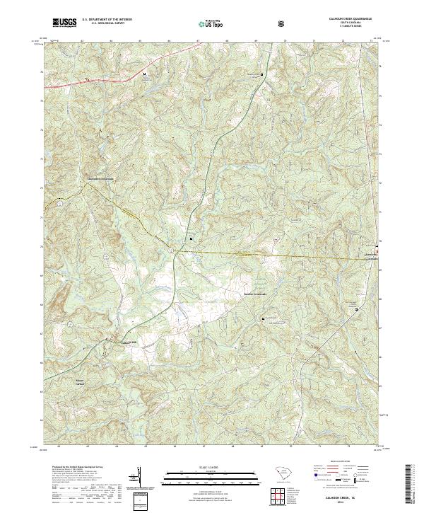
2024 Calhoun Creek
Abbeville County, SC
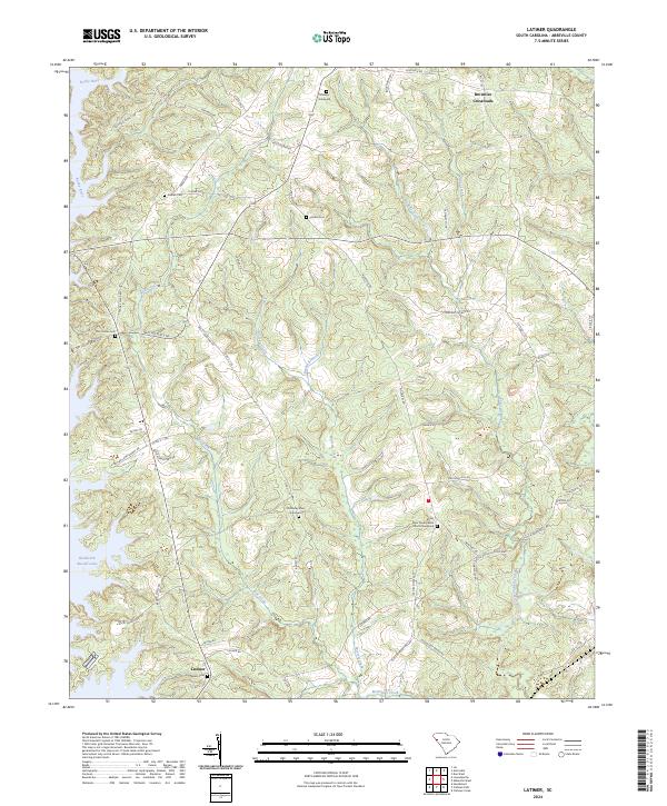
2024 Latimer
Abbeville County, SC
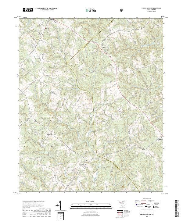
2024 Shoals Junction
Abbeville County, SC
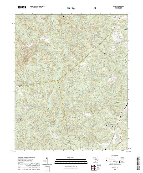
2024 Verdery
Abbeville County, SC
2024 Ware Shoals West
Abbeville County, SC
Featured Locations
- Abbeville County, SC
- Greenwood County, SC
- Bradley Corner, SC
- Clatworthy Crossroads, SC
- Cedar Springs, SC