
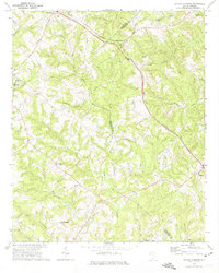
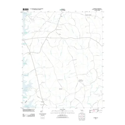
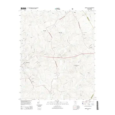
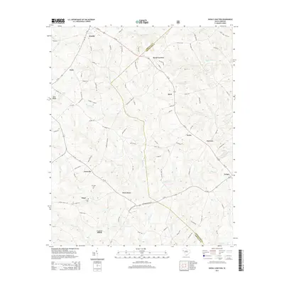
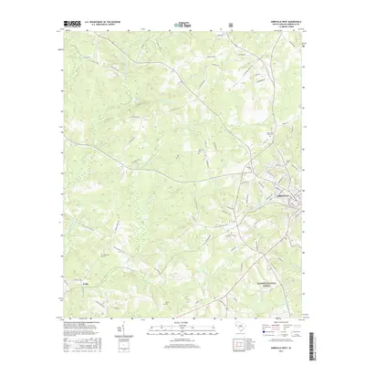
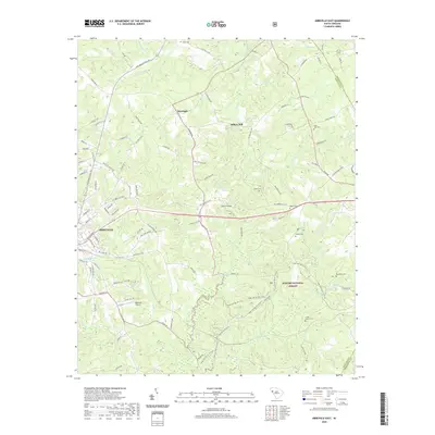
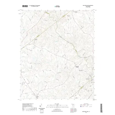
1948 Map of Abbeville East
USGS Topo · Published 1948About this map
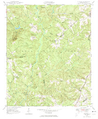
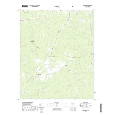
Abbeville serves as the focal point for this late 1940s study, which details the rural landscape as it transitions into the eastern Sumter National Forest. The eastern reaches of the town include the County Training Sch and the Abbeville Pumping Station, illustrating the community's mid-century infrastructure and educational footprint. To the east, the terrain is defined by the winding course of Long Cane Creek and its many tributaries like Curtail Creek, which supported industrial sites such as Millers Mill.
Find a feature on this map
48 named features on this map. Tap any name to fly to it.
Don’t see what you’re looking for? This feature index may not catch every label — zoom into the map to look around manually.
Map Details
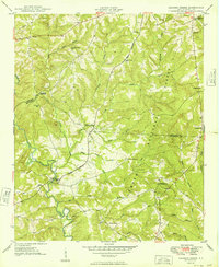
Editions of this 1948 Abbeville East Map
This is the sole edition of this map. No revisions or reprints were ever made.
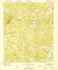
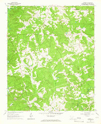
Historical Maps of Abbeville Through Time
44 maps found
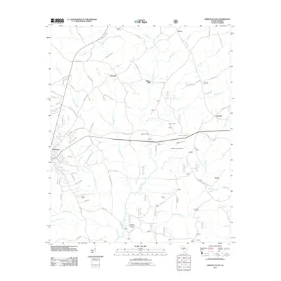
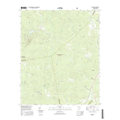
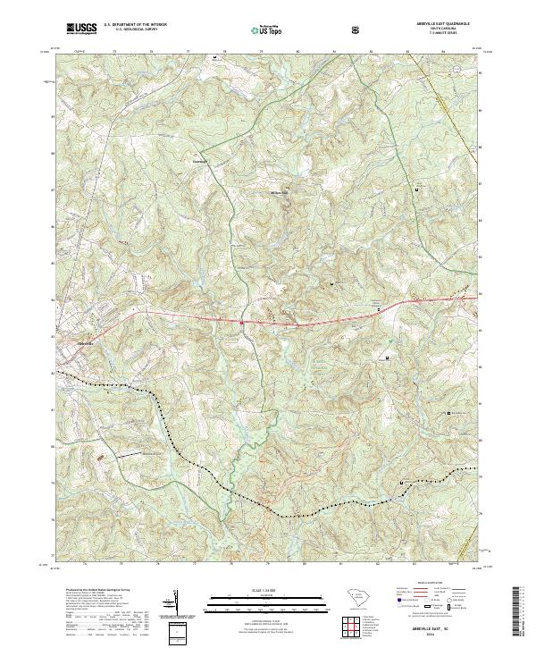
1948 Abbeville East
Abbeville County, SC

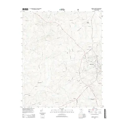
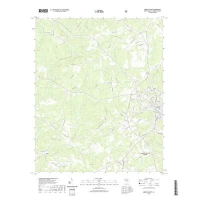
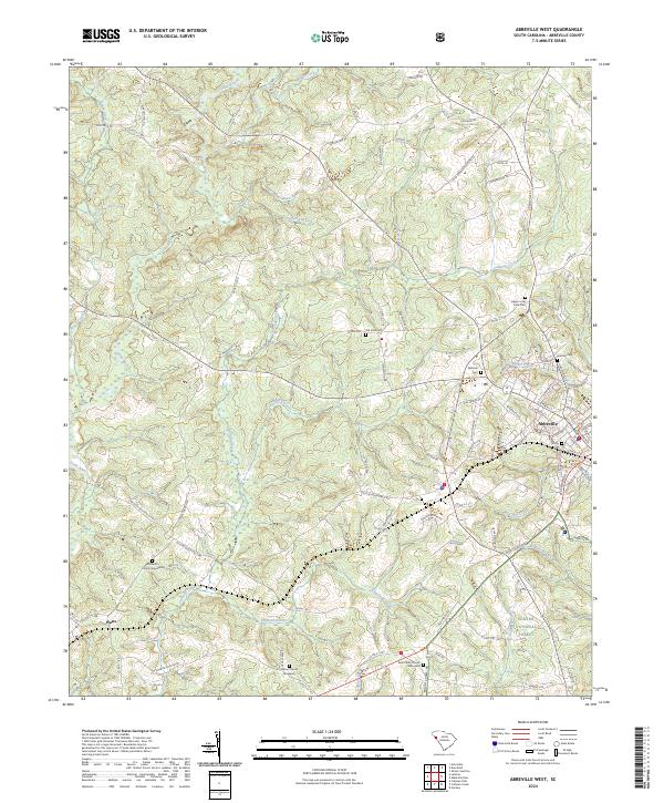
1948 Abbeville West
Abbeville County, SC
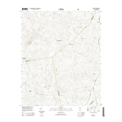
1948 Verdery
Abbeville County, SC
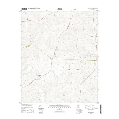
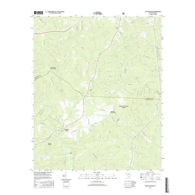
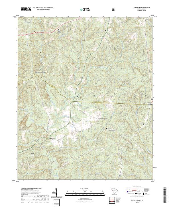
1949 Calhoun Creek
Abbeville County, SC

1950 Abbeville East
Abbeville County, SC
1950 Verdery
Abbeville County, SC
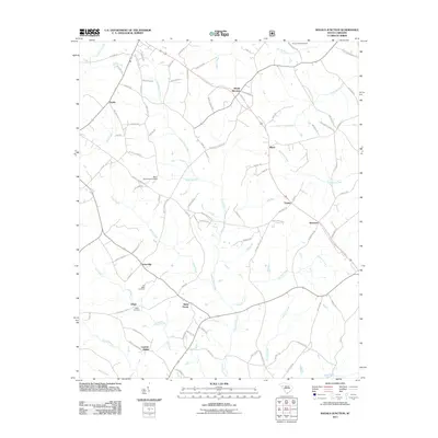
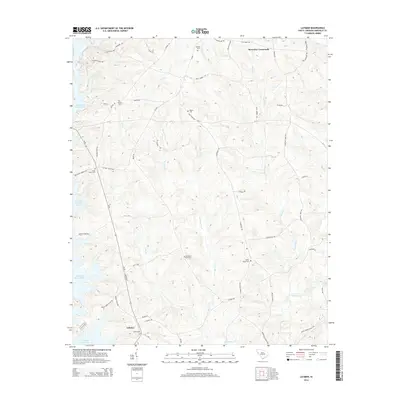
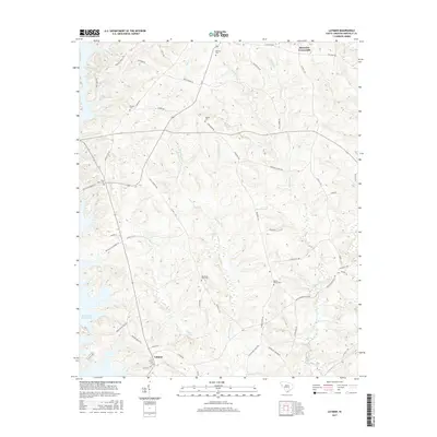
1964 Latimer
Abbeville County, SC
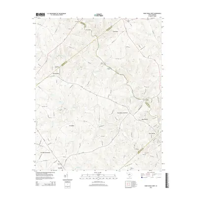
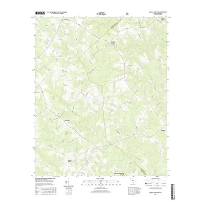
1971 Shoals Junction
Abbeville County, SC

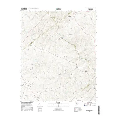
1971 Ware Shoals West
Abbeville County, SC
2011 Abbeville East
Abbeville County, SC
2011 Abbeville West
Abbeville County, SC
2011 Calhoun Creek
Abbeville County, SC
2011 Latimer
Abbeville County, SC
2011 Shoals Junction
Abbeville County, SC
2011 Verdery
Abbeville County, SC
2011 Ware Shoals West
Abbeville County, SC
2014 Abbeville East
Abbeville County, SC
2014 Abbeville West
Abbeville County, SC
2014 Calhoun Creek
Abbeville County, SC
2014 Latimer
Abbeville County, SC
2014 Shoals Junction
Abbeville County, SC
2014 Verdery
Abbeville County, SC
2014 Ware Shoals West
Abbeville County, SC
2017 Abbeville East
Abbeville County, SC
2017 Abbeville West
Abbeville County, SC
2017 Calhoun Creek
Abbeville County, SC
2017 Latimer
Abbeville County, SC
2017 Shoals Junction
Abbeville County, SC
2017 Verdery
Abbeville County, SC
2017 Ware Shoals West
Abbeville County, SC
2020 Abbeville East
Abbeville County, SC
2020 Abbeville West
Abbeville County, SC
2020 Calhoun Creek
Abbeville County, SC
2020 Latimer
Abbeville County, SC
2020 Shoals Junction
Abbeville County, SC
2020 Verdery
Abbeville County, SC
2020 Ware Shoals West
Abbeville County, SC
2024 Abbeville East
Abbeville County, SC
2024 Abbeville West
Abbeville County, SC
2024 Calhoun Creek
Abbeville County, SC
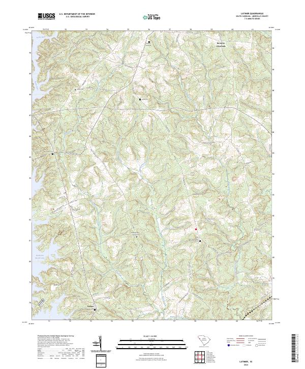
2024 Latimer
Abbeville County, SC
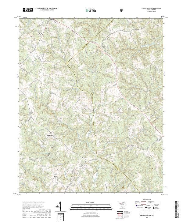
2024 Shoals Junction
Abbeville County, SC
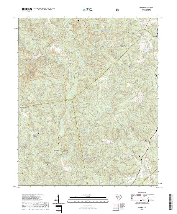
2024 Verdery
Abbeville County, SC
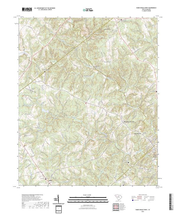
2024 Ware Shoals West
Abbeville County, SC