
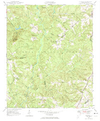
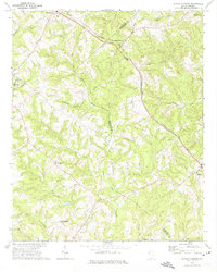
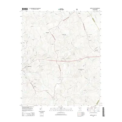
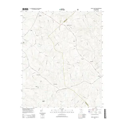
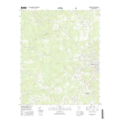
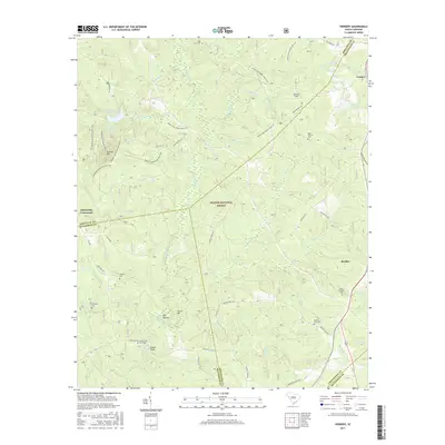
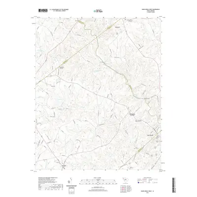
1948 Map of Abbeville West
USGS Topo · Published 1976About this map
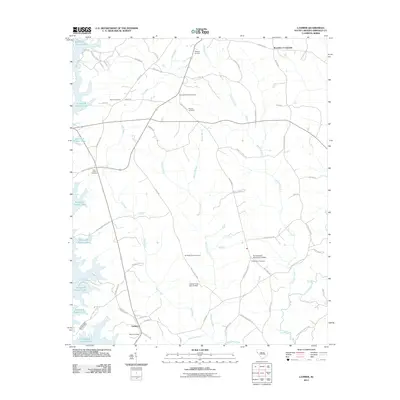
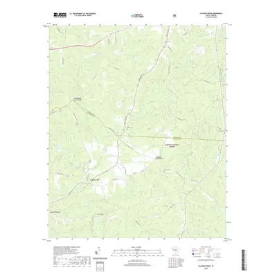
The western edge of Abbeville serves as the focal point of this postwar study, where the developed town grid meets a landscape defined by small-scale farming and the Sumter National Forest. The Seaboard Air Line railroad cuts through the terrain, supporting local industry near the Filtration Plant and the County Farm. This era was characterized by a decentralized social network of rural education and faith, evidenced by numerous small institutions like Gold Spring Sch, Edgewood Sch, and Mt Clement Ch. The topography is shaped by the Little River and its many tributaries, including Calhoun Creek and Redd Creek. Genealogists will find significant value in the documentation of several local burial grounds, notably Old Zion Cem, Melrose Cem, and Upper Long Cane Cem, which anchor the history of these South Carolina Piedmont communities.
Find a feature on this map
42 named features on this map. Tap any name to fly to it.
Don’t see what you’re looking for? This feature index may not catch every label — zoom into the map to look around manually.
Map Details
Editions of this 1948 Abbeville West Map
This is the sole edition of this map. No revisions or reprints were ever made.
Historical Maps of Abbeville Through Time
44 maps found

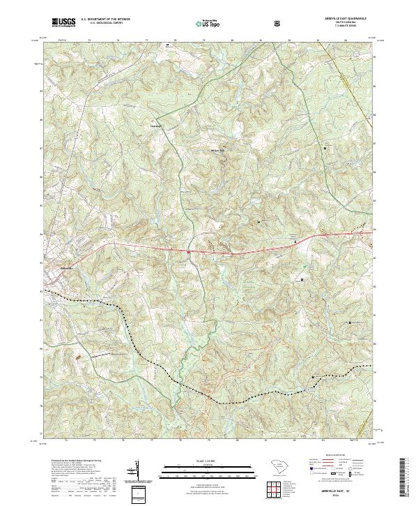
1948 Abbeville East
Abbeville County, SC
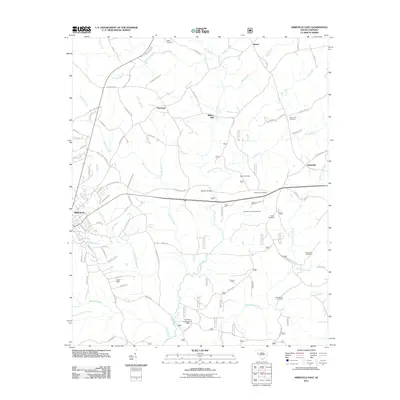
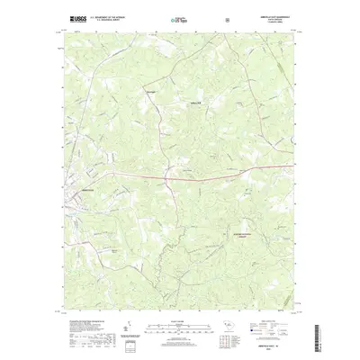
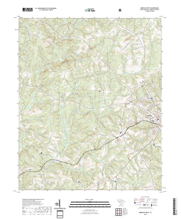
1948 Abbeville West
Abbeville County, SC
1948 Verdery
Abbeville County, SC
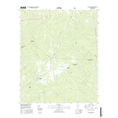
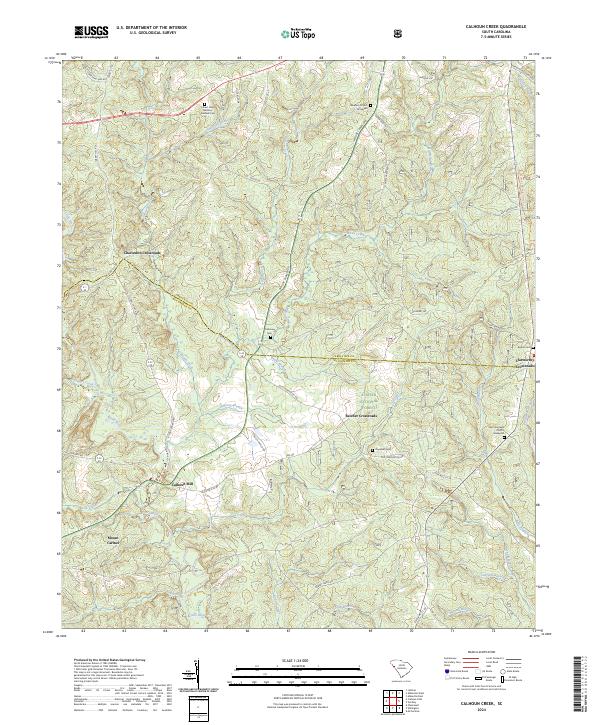
1949 Calhoun Creek
Abbeville County, SC

1950 Abbeville East
Abbeville County, SC
1950 Verdery
Abbeville County, SC
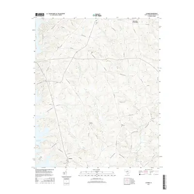
1964 Latimer
Abbeville County, SC
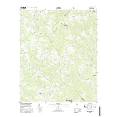
1971 Shoals Junction
Abbeville County, SC

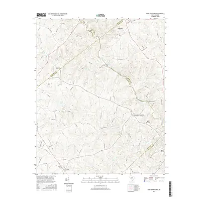
1971 Ware Shoals West
Abbeville County, SC
2011 Abbeville East
Abbeville County, SC
2011 Abbeville West
Abbeville County, SC
2011 Calhoun Creek
Abbeville County, SC
2011 Latimer
Abbeville County, SC
2011 Shoals Junction
Abbeville County, SC
2011 Verdery
Abbeville County, SC
2011 Ware Shoals West
Abbeville County, SC
2014 Abbeville East
Abbeville County, SC
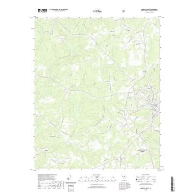
2014 Abbeville West
Abbeville County, SC
2014 Calhoun Creek
Abbeville County, SC
2014 Latimer
Abbeville County, SC
2014 Shoals Junction
Abbeville County, SC
2014 Verdery
Abbeville County, SC
2014 Ware Shoals West
Abbeville County, SC
2017 Abbeville East
Abbeville County, SC
2017 Abbeville West
Abbeville County, SC
2017 Calhoun Creek
Abbeville County, SC
2017 Latimer
Abbeville County, SC
2017 Shoals Junction
Abbeville County, SC
2017 Verdery
Abbeville County, SC
2017 Ware Shoals West
Abbeville County, SC
2020 Abbeville East
Abbeville County, SC
2020 Abbeville West
Abbeville County, SC
2020 Calhoun Creek
Abbeville County, SC
2020 Latimer
Abbeville County, SC
2020 Shoals Junction
Abbeville County, SC
2020 Verdery
Abbeville County, SC
2020 Ware Shoals West
Abbeville County, SC
2024 Abbeville East
Abbeville County, SC
2024 Abbeville West
Abbeville County, SC
2024 Calhoun Creek
Abbeville County, SC
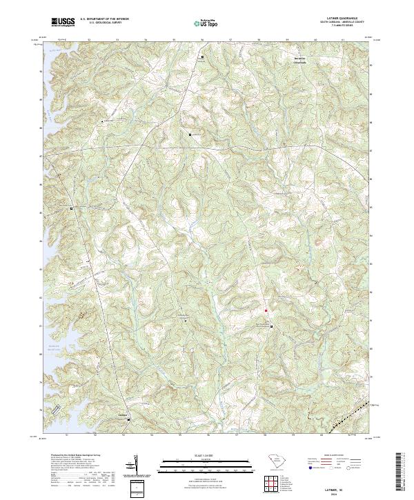
2024 Latimer
Abbeville County, SC
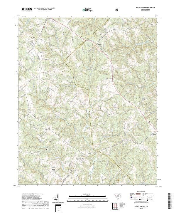
2024 Shoals Junction
Abbeville County, SC
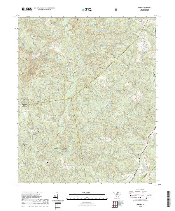
2024 Verdery
Abbeville County, SC
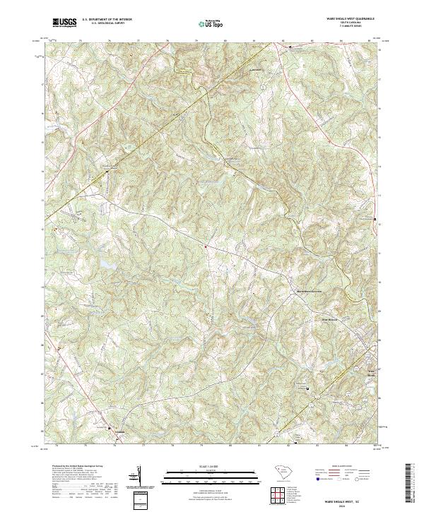
2024 Ware Shoals West
Abbeville County, SC