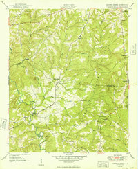
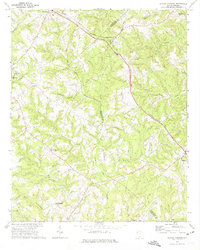
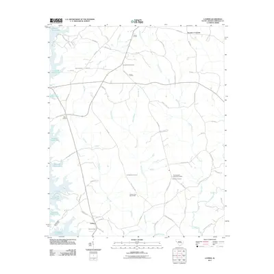
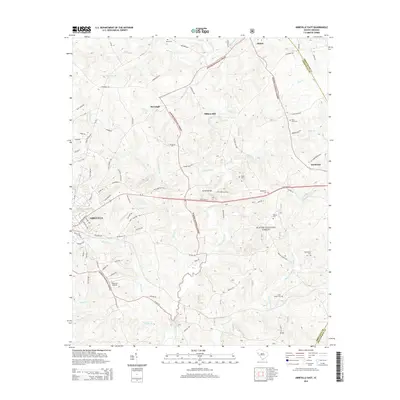
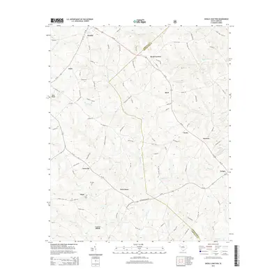
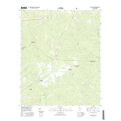
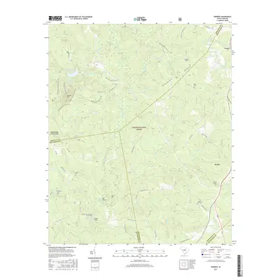
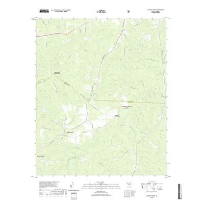
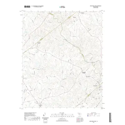
1949 Map of Calhoun Creek
USGS Topo · Published 1949About this map
The Little River winds through the rural landscape of the Piedmont, defining the terrain of western South Carolina at the close of the 1940s. This survey, compiled from aerial photography taken just before the war and updated by ground crews in the late 1940s, reveals a countryside dense with small community centers. The distribution of numerous schools, including St Marys Sch, Mulberry Sch, and Walnut Grove Sch, suggests a decentralized rural population tied to local agricultural nodes. Near the river, the Calhoun Mill stands as a landmark of local industry and history.
Find a feature on this map
39 named features on this map. Tap any name to fly to it.
Don’t see what you’re looking for? This feature index may not catch every label — zoom into the map to look around manually.
Map Details
Editions of this 1949 Calhoun Creek Map
This is the sole edition of this map. No revisions or reprints were ever made.
Historical Maps of Charleston Crossroads Through Time
44 maps found

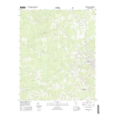
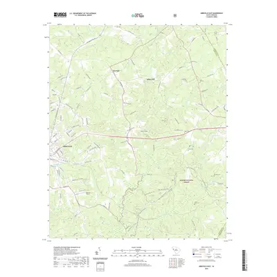
1948 Abbeville East
Abbeville County, SC

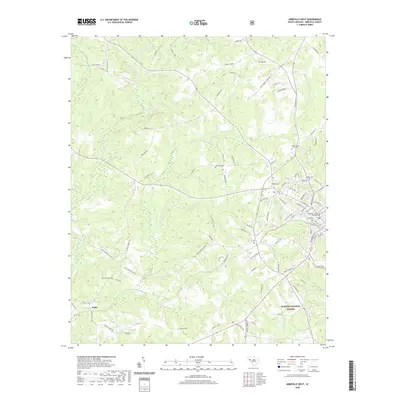
1948 Abbeville West
Abbeville County, SC
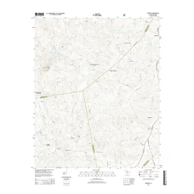
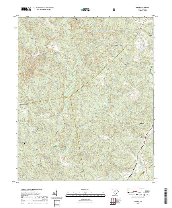
1948 Verdery
Abbeville County, SC
1949 Calhoun Creek
Abbeville County, SC

1950 Abbeville East
Abbeville County, SC
1950 Verdery
Abbeville County, SC
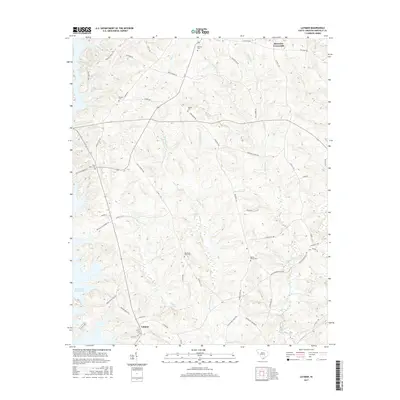
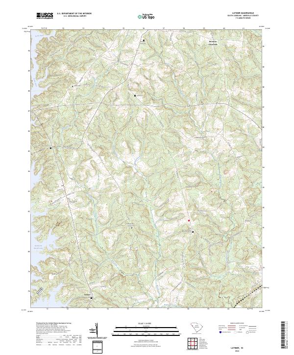
1964 Latimer
Abbeville County, SC
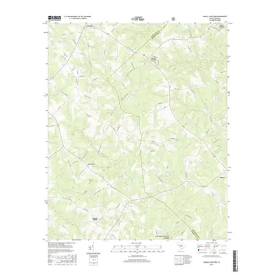
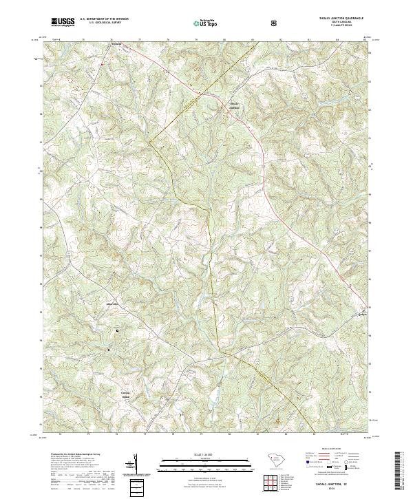
1971 Shoals Junction
Abbeville County, SC

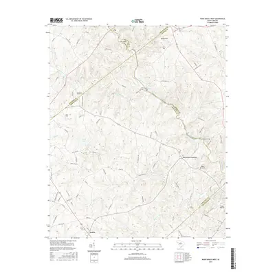
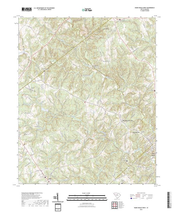
1971 Ware Shoals West
Abbeville County, SC
2011 Abbeville East
Abbeville County, SC
2011 Abbeville West
Abbeville County, SC
2011 Calhoun Creek
Abbeville County, SC
2011 Latimer
Abbeville County, SC
2011 Shoals Junction
Abbeville County, SC
2011 Verdery
Abbeville County, SC
2011 Ware Shoals West
Abbeville County, SC
2014 Abbeville East
Abbeville County, SC
2014 Abbeville West
Abbeville County, SC
2014 Calhoun Creek
Abbeville County, SC
2014 Latimer
Abbeville County, SC
2014 Shoals Junction
Abbeville County, SC
2014 Verdery
Abbeville County, SC
2014 Ware Shoals West
Abbeville County, SC
2017 Abbeville East
Abbeville County, SC
2017 Abbeville West
Abbeville County, SC
2017 Calhoun Creek
Abbeville County, SC
2017 Latimer
Abbeville County, SC
2017 Shoals Junction
Abbeville County, SC
2017 Verdery
Abbeville County, SC
2017 Ware Shoals West
Abbeville County, SC
2020 Abbeville East
Abbeville County, SC
2020 Abbeville West
Abbeville County, SC
2020 Calhoun Creek
Abbeville County, SC
2020 Latimer
Abbeville County, SC
2020 Shoals Junction
Abbeville County, SC
2020 Verdery
Abbeville County, SC
2020 Ware Shoals West
Abbeville County, SC
2024 Abbeville East
Abbeville County, SC
2024 Abbeville West
Abbeville County, SC
2024 Calhoun Creek
Abbeville County, SC
2024 Latimer
Abbeville County, SC
2024 Shoals Junction
Abbeville County, SC
2024 Verdery
Abbeville County, SC
2024 Ware Shoals West
Abbeville County, SC