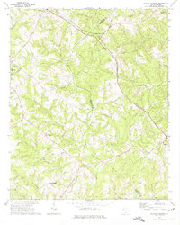
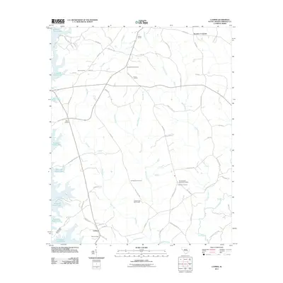
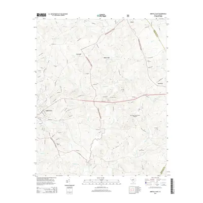
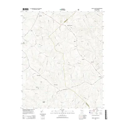
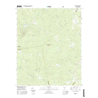
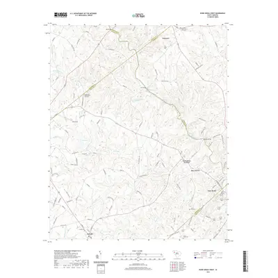
1948 Map of Verdery
USGS Topo · Published 1974About this map
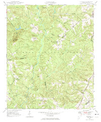
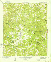
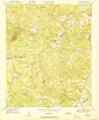
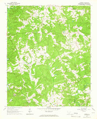
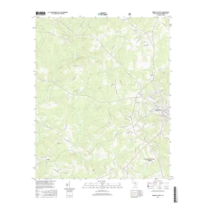
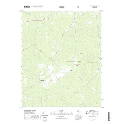
Sumter National Forest dominates the landscape of this South Carolina Piedmont region, where the convergence of Abbeville, Greenwood, and McCormick counties creates a complex network of rural communities and church-centered settlements. Based on aerial photography from 1939 and ground surveys in the late 1940s, the map illustrates a landscape defined by its watercourses, including the prominent Long Cane Creek and its many tributaries like Stillhouse Branch and Sawmill Creek. Rural life is anchored by institutions such as Cedar Springs Ch and Long Cane Sch, while the Charleston and Western Carolina railroad cuts through the eastern edge near Verdery. Notable topographical features like Parsons Mtn with its Lookout Tower provide a contrast to the flatter bottomlands of Big Bottom and Reedy Branch, highlighting the localized timber and farming geography of the post-war era.
Find a feature on this map
58 named features on this map. Tap any name to fly to it.
Don’t see what you’re looking for? This feature index may not catch every label — zoom into the map to look around manually.
Map Details
Editions of this 1948 Verdery Map
This is the sole edition of this map. No revisions or reprints were ever made.
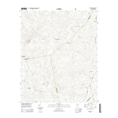
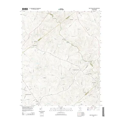
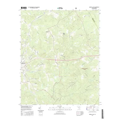
Historical Maps of Clatworthy Crossroads Through Time
44 maps found

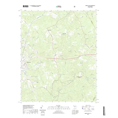
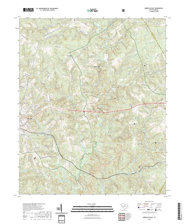
1948 Abbeville East
Abbeville County, SC

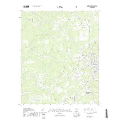
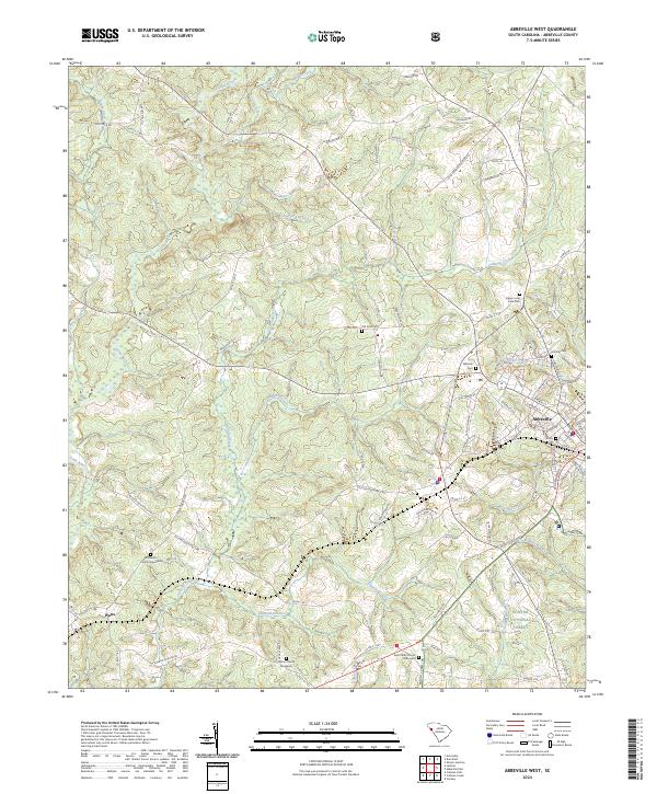
1948 Abbeville West
Abbeville County, SC
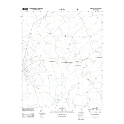
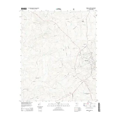
1948 Verdery
Abbeville County, SC
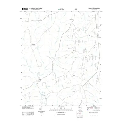
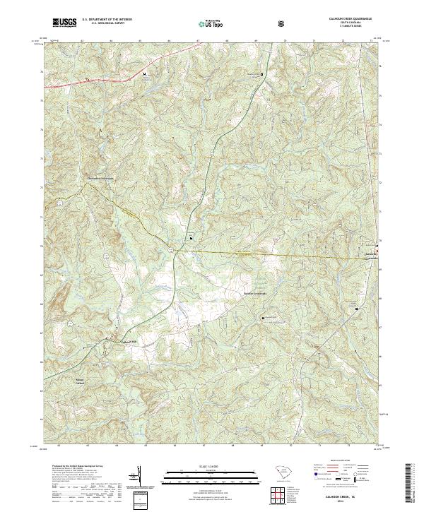
1949 Calhoun Creek
Abbeville County, SC

1950 Abbeville East
Abbeville County, SC
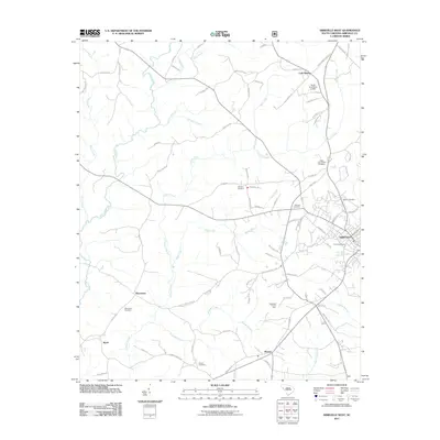
1950 Verdery
Abbeville County, SC
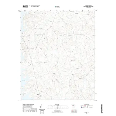
1964 Latimer
Abbeville County, SC
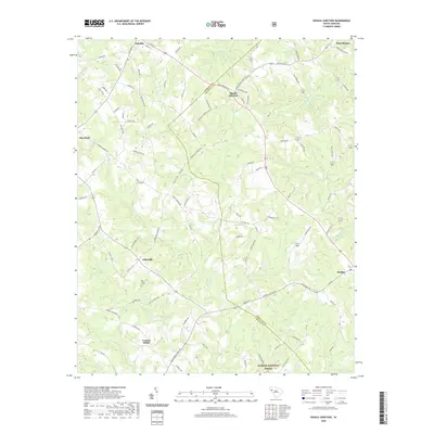
1971 Shoals Junction
Abbeville County, SC

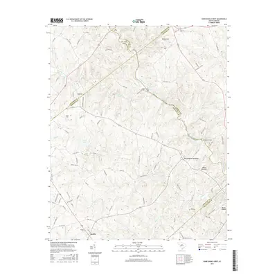
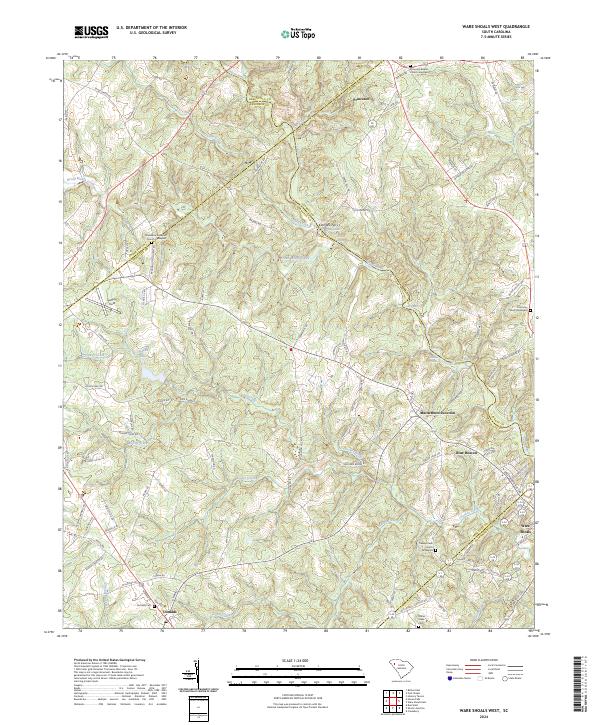
1971 Ware Shoals West
Abbeville County, SC
2011 Abbeville East
Abbeville County, SC
2011 Abbeville West
Abbeville County, SC
2011 Calhoun Creek
Abbeville County, SC
2011 Latimer
Abbeville County, SC
2011 Shoals Junction
Abbeville County, SC
2011 Verdery
Abbeville County, SC
2011 Ware Shoals West
Abbeville County, SC
2014 Abbeville East
Abbeville County, SC
2014 Abbeville West
Abbeville County, SC
2014 Calhoun Creek
Abbeville County, SC
2014 Latimer
Abbeville County, SC
2014 Shoals Junction
Abbeville County, SC
2014 Verdery
Abbeville County, SC
2014 Ware Shoals West
Abbeville County, SC
2017 Abbeville East
Abbeville County, SC
2017 Abbeville West
Abbeville County, SC
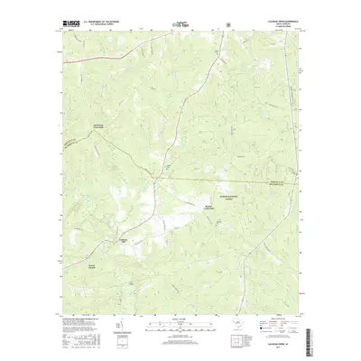
2017 Calhoun Creek
Abbeville County, SC
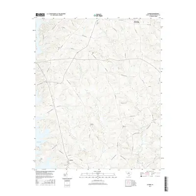
2017 Latimer
Abbeville County, SC
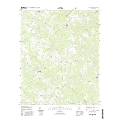
2017 Shoals Junction
Abbeville County, SC
2017 Verdery
Abbeville County, SC
2017 Ware Shoals West
Abbeville County, SC
2020 Abbeville East
Abbeville County, SC
2020 Abbeville West
Abbeville County, SC
2020 Calhoun Creek
Abbeville County, SC
2020 Latimer
Abbeville County, SC
2020 Shoals Junction
Abbeville County, SC
2020 Verdery
Abbeville County, SC
2020 Ware Shoals West
Abbeville County, SC
2024 Abbeville East
Abbeville County, SC
2024 Abbeville West
Abbeville County, SC
2024 Calhoun Creek
Abbeville County, SC
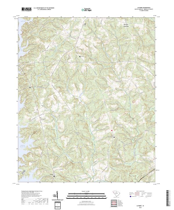
2024 Latimer
Abbeville County, SC
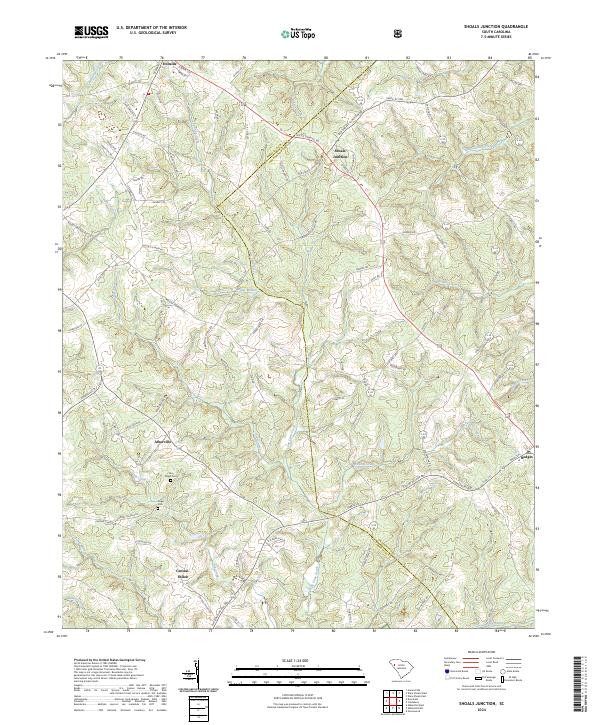
2024 Shoals Junction
Abbeville County, SC
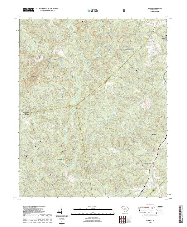
2024 Verdery
Abbeville County, SC
2024 Ware Shoals West
Abbeville County, SC
Featured Locations
- Abbeville County, SC
- Greenwood County, SC
- Bradley Corner, SC
- Clatworthy Crossroads, SC
- Cedar Springs, SC