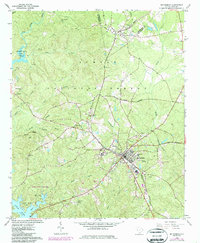
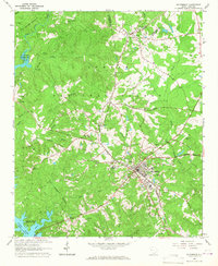
1964 Map of Mc Cormick
USGS Topo · Published 1987About this map
The Indian Massacre Grave provides a somber historical anchor to this portion of the South Carolina Piedmont during the mid-1960s. Located within the Sumter National Forest, the landscape is a mix of dense timberland and agricultural clearings, punctuated by several rural houses of worship such as New China Ch and Holy Spring Ch. The town of McCormick serves as the regional hub, where the Seaboard Coast Line railroad intersects with local industry, evidenced by the Filtration Plant and McCormick County Airport.
Find a feature on this map
40 named features on this map. Tap any name to fly to it.
Don’t see what you’re looking for? This feature index may not catch every label — zoom into the map to look around manually.
Map Details
Editions of this 1964 Mc Cormick Map
2 editions found
Other maps of this area

1892 · Mc Cormick
USGS Topo · 1:125,000

1892 · Abbeville
USGS Topo · 1:125,000

1912 · Mc Cormick
USGS Topo · 1:125,000

1948 · Verdery
USGS Topo · 1:24,000

1949 · Calhoun Creek
USGS Topo · 1:24,000

1950 · Bradley
USGS Topo · 1:24,000

1950 · Verdery
USGS Topo · 1:24,000

1953 · Athens
USGS Topo · 1:250,000

1954 · Greenville
USGS Topo · 1:250,000

1958 · Greenville
USGS Topo · 1:250,000