1977 Map of Mc Curtain
USGS Topo · Published 1977About this map
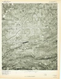
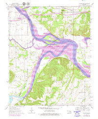
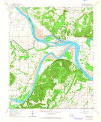
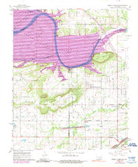
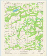
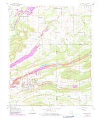
Mc Curtain and the surrounding Haskell County landscape are shown here in 1977 as an orthophotoquad, which uses rectified aerial imagery to reveal the literal footprint of the land rather than traditional cartographic symbols. The settlement of Mc Curtain is visible in the southern portion of the sheet, characterized by a grid of small streets and structures that give way to the complex, ridged terrain of the region. This photographically based survey makes the physical scars and textures of the earth clear, from the winding paths of Owl Creek and Panther Creek to the distinct elevations of Seven Devils Mountain and Campground Spring Mountain. To the north, the waters of Robert S. Kerr Reservoir meet the small community of Ironbridge, providing a stark contrast between the liquid expanse of the reservoir and the agricultural and forested patches that dominate the central part of the quadrangle.
Find a feature on this map
7 named features on this map. Tap any name to fly to it.
Don’t see what you’re looking for? This feature index may not catch every label — zoom into the map to look around manually.
Map Details
Editions of this 1977 Mc Curtain Map
This is the sole edition of this map. No revisions or reprints were ever made.
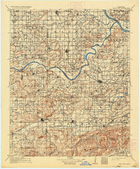
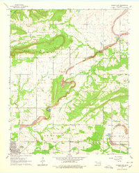
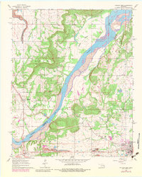
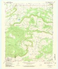
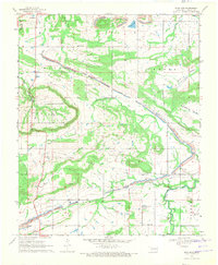
Historical Maps of McCurtain Through Time
19 maps found

1909 Sans Bois
Haskell County, OK
1911 Sans Bois
Haskell County, OK
1962 Stigler East
Haskell County, OK
1962 Stigler West
Haskell County, OK
1963 Stigler NE
Haskell County, OK
1964 Stigler NE
Haskell County, OK
1967 Robert S Kerr Dam
Haskell County, OK
1968 Lafayette
Haskell County, OK
1968 Mc Curtain
Haskell County, OK
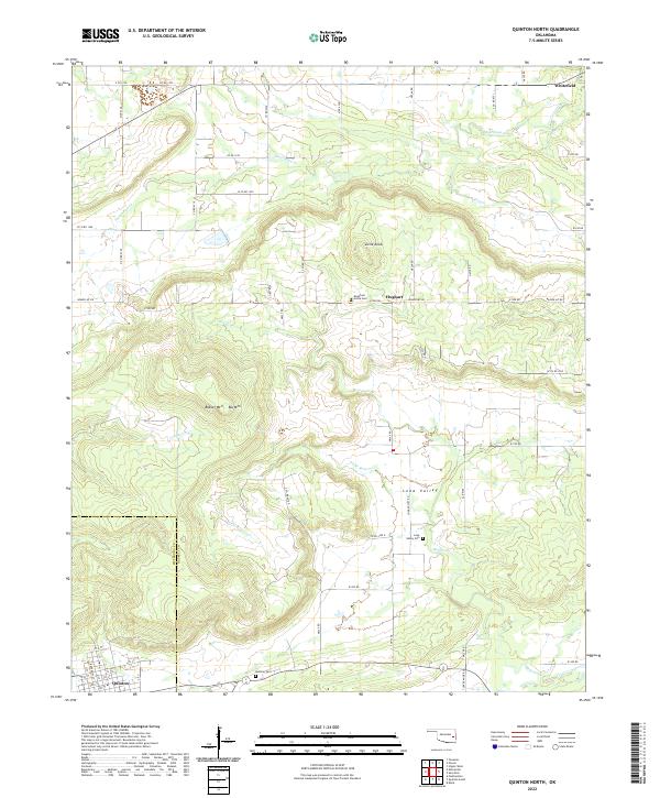
1969 Quinton North
Haskell County, OK
1969 Sans Bois
Haskell County, OK
1977 Mc Curtain
Haskell County, OK
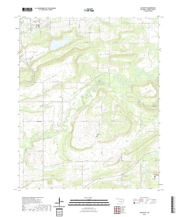
2022 Lafayette
Haskell County, OK
2022 Quinton North
Haskell County, OK

2022 Robert S Kerr Dam
Haskell County, OK
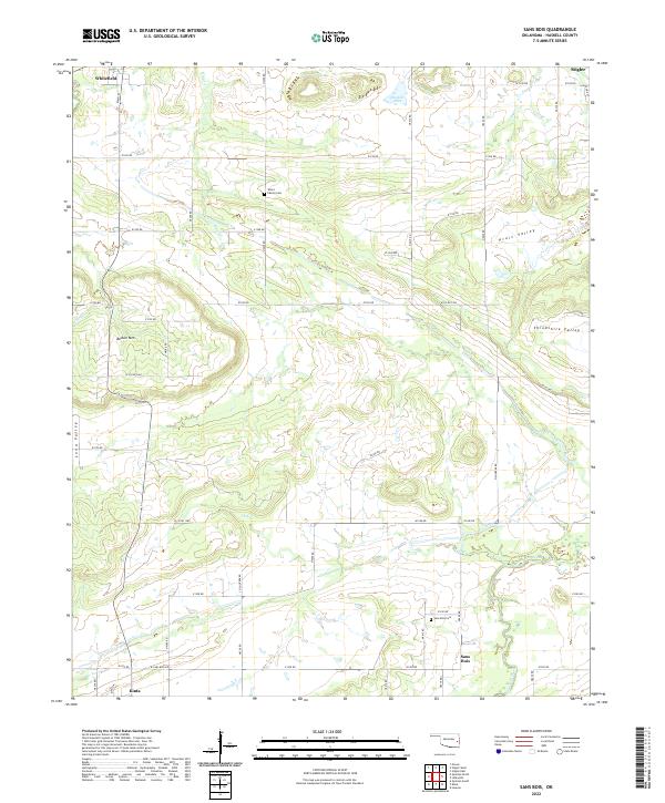
2022 Sans Bois
Haskell County, OK
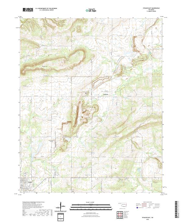
2022 Stigler East
Haskell County, OK
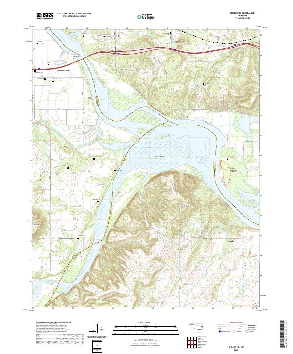
2022 Stigler NE
Haskell County, OK
2022 Stigler West
Haskell County, OK