1950 Map of Mc Kinnon
USGS Topo · Published 1974About this map
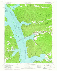
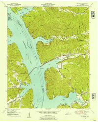
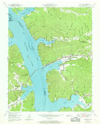
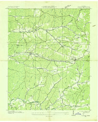
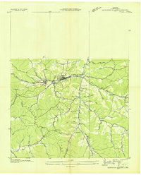
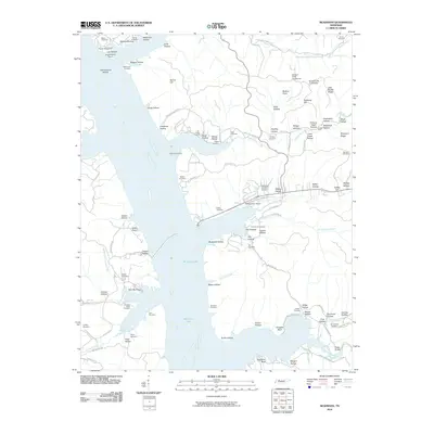
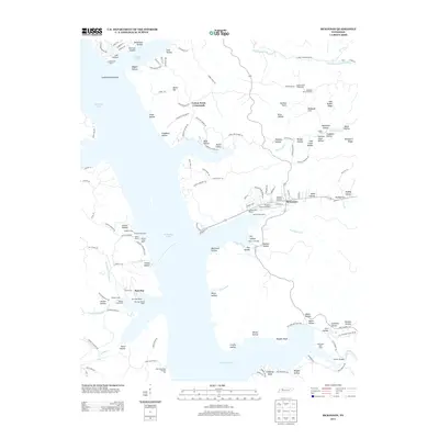
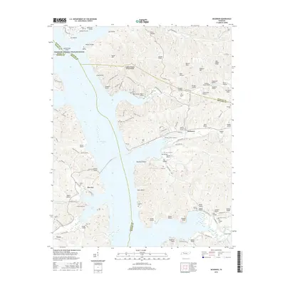
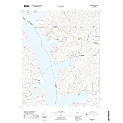
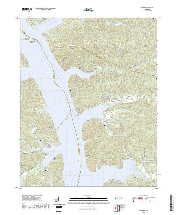
Kentucky Lake and the Tennessee River dominate this landscape along the border of Houston, Stewart, Benton, and Henry Counties. The settlement of McKinnon serves as a central hub, situated where the Louisville and Nashville railroad tracks parallel the water. The geography is defined by a dense network of hollows, including Biggins Hollow, Bush Hollow, and Outlaw Hollow, which drain into the main river channel.
Find a feature on this map
83 named features on this map. Tap any name to fly to it.
Don’t see what you’re looking for? This feature index may not catch every label — zoom into the map to look around manually.
Map Details
Editions of this 1950 Mc Kinnon Map
3 editions found
Historical Maps of McKinnon Through Time
21 maps found
1936 McKinnon
Houston County, TN
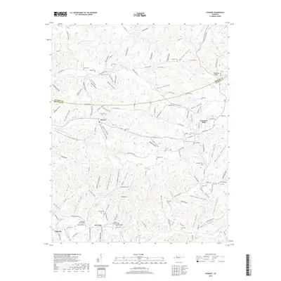
1936 Stewart
Houston County, TN
1936 Tantrough Hollow
Houston County, TN
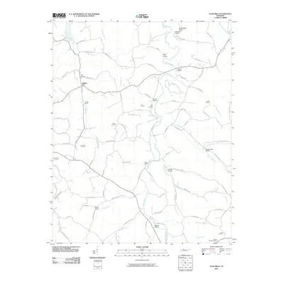
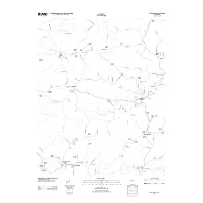
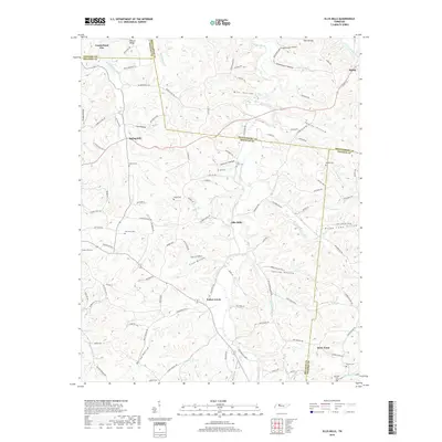
1950 Mc Kinnon
Houston County, TN
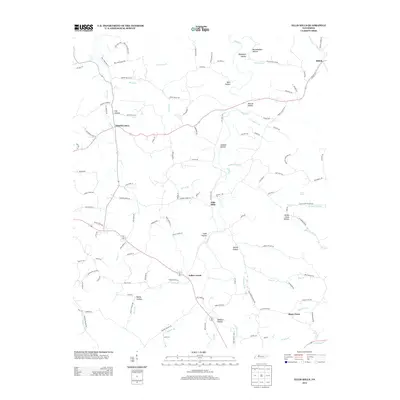
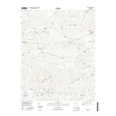
1950 Stewart
Houston County, TN
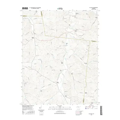
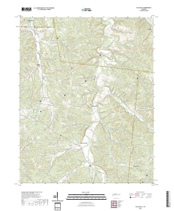
1965 Ellis Mills
Houston County, TN
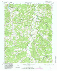
2010 Ellis Mills
Houston County, TN
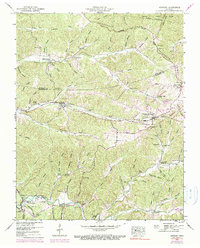
2010 McKinnon
Houston County, TN

2010 Stewart
Houston County, TN
2013 Ellis Mills
Houston County, TN
2013 McKinnon
Houston County, TN
2013 Stewart
Houston County, TN
2016 Ellis Mills
Houston County, TN
2016 McKinnon
Houston County, TN
2016 Stewart
Houston County, TN
2019 Ellis Mills
Houston County, TN
2019 McKinnon
Houston County, TN
2019 Stewart
Houston County, TN
2022 Ellis Mills
Houston County, TN
2022 McKinnon
Houston County, TN
2022 Stewart
Houston County, TN