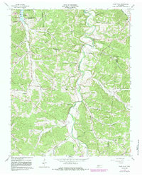
1965 Map of Ellis Mills
USGS Topo · Published 1983About this map
Yellow Creek snakes through a deeply dissected landscape where Houston, Stewart, Montgomery, and Dickson counties converge. The rugged topography is defined by narrow hollows and ridge-top roads, such as Clark Road, which connect isolated rural communities and family landmarks. This 1965 survey, later updated with 1980s data, documents the region's spiritual and social geography through numerous small congregations, including Griffin Chapel, Dortch Chapel, and Spring Hill Ch.
Find a feature on this map
49 named features on this map. Tap any name to fly to it.
Don’t see what you’re looking for? This feature index may not catch every label — zoom into the map to look around manually.
Map Details
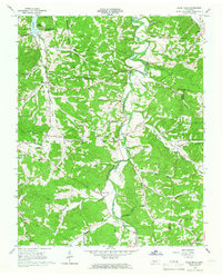
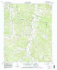
Editions of this 1965 Ellis Mills Map
3 editions found
Other maps of this area

1931 · Erin
USGS Topo · 1:62,500

1936 · Tantrough Hollow
USGS Topo · 1:24,000

1936 · Woolworth
USGS Topo · 1:24,000

1936 · Ruskin
USGS Topo · 1:24,000
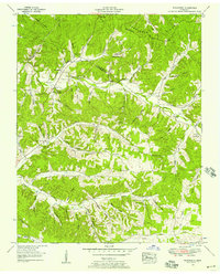
1952 · Woolworth
USGS Topo · 1:24,000
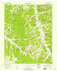
1953 · Ruskin
USGS Topo · 1:24,000

1956 · Nashville
USGS Topo · 1:250,000
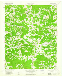
1958 · Vanleer
USGS Topo · 1:24,000
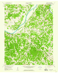
1958 · Palmyra
USGS Topo · 1:24,000
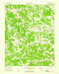
1958 · Slayden
USGS Topo · 1:24,000