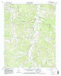
1965 Map of Ellis Mills
USGS Topo · Published 1983About this map
Yellow Creek and its many winding tributaries define the topography of this Tennessee landscape, where the borders of Houston, Montgomery, Stewart, and Dickson counties converge. The settlement at Ellis Mills sits centrally along the creek, connected by a network of rural routes like Ellis Mills Road and Clark Road. Near the northern boundary, the Cumberland River and Lake Barkley shape the local geography near Cumberland City. The map reveals a deeply etched terrain of hollows such as Mint Hollow and Bushwhacker Hol, reflecting a rural economy built around water access and small crossroads communities. Genealogists will find numerous rural sanctuaries and burial sites, including McKendree Ch, Dorth Chapel, and Griffin Chapel, alongside an upland Lookout Tower and a riverside Gaging Station.
Find a feature on this map
52 named features on this map. Tap any name to fly to it.
Don’t see what you’re looking for? This feature index may not catch every label — zoom into the map to look around manually.
Map Details
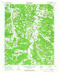
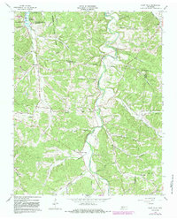
Editions of this 1965 Ellis Mills Map
3 editions found
Other maps of this area

1931 · Erin
USGS Topo · 1:62,500

1936 · Tantrough Hollow
USGS Topo · 1:24,000

1936 · Woolworth
USGS Topo · 1:24,000

1936 · Ruskin
USGS Topo · 1:24,000
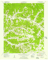
1952 · Woolworth
USGS Topo · 1:24,000
1953 · Ruskin
USGS Topo · 1:24,000

1956 · Nashville
USGS Topo · 1:250,000
1958 · Vanleer
USGS Topo · 1:24,000
1958 · Palmyra
USGS Topo · 1:24,000
1958 · Slayden
USGS Topo · 1:24,000