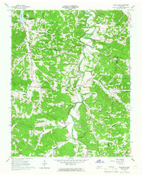
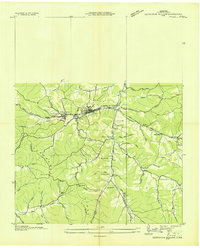
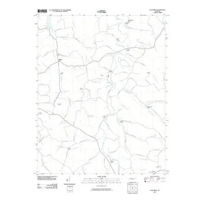
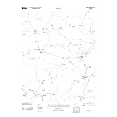
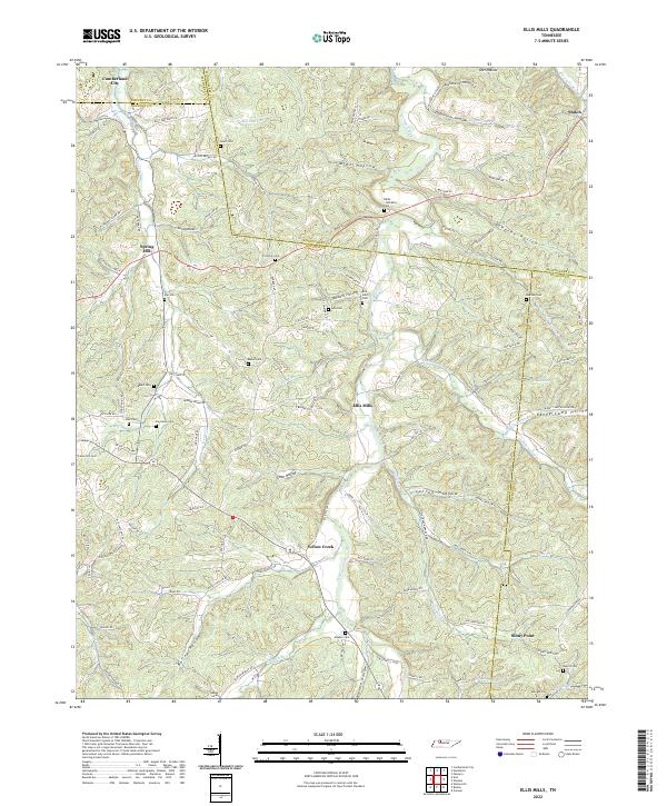
1965 Map of Ellis Mills
USGS Topo · Published 1966About this map
Yellow Creek winds through the heart of this mid-1960s landscape, where the borders of Houston, Montgomery, Stewart, and Dickson counties converge. The terrain is deeply incised by a dense network of branches and hollows, such as Thorne Hollow and Guices Creek, which dictated the early settlement patterns of the region. Small communities and church-centered neighborhoods like Spring Hill and Shiloh are connected by winding rural routes, including Clark Road and Guices Creek Road.
Find a feature on this map
51 named features on this map. Tap any name to fly to it.
Don’t see what you’re looking for? This feature index may not catch every label — zoom into the map to look around manually.
Map Details
Editions of this 1965 Ellis Mills Map
3 editions found
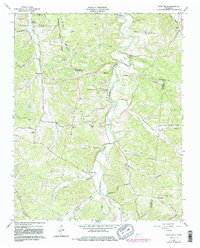
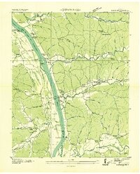
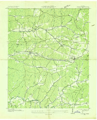
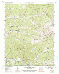
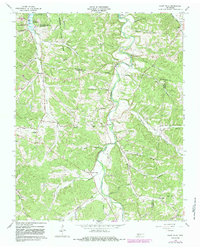
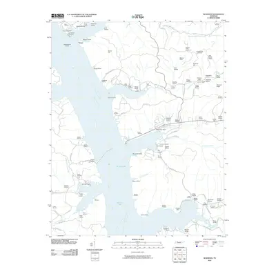
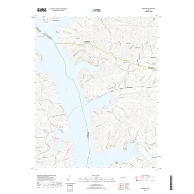
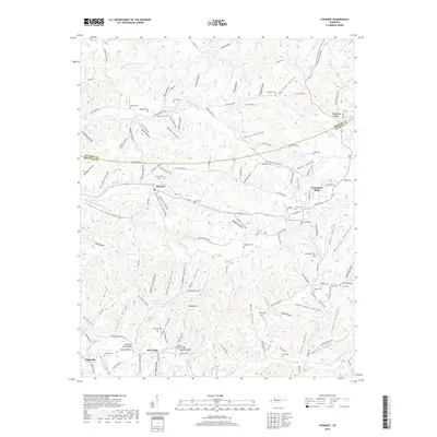
Historical Maps of Cumberland City Through Time
21 maps found
1936 McKinnon
Houston County, TN
1936 Stewart
Houston County, TN
1936 Tantrough Hollow
Houston County, TN
1950 Mc Kinnon
Houston County, TN
1950 Stewart
Houston County, TN
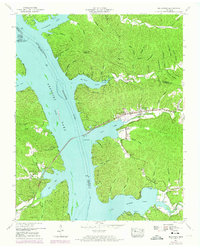
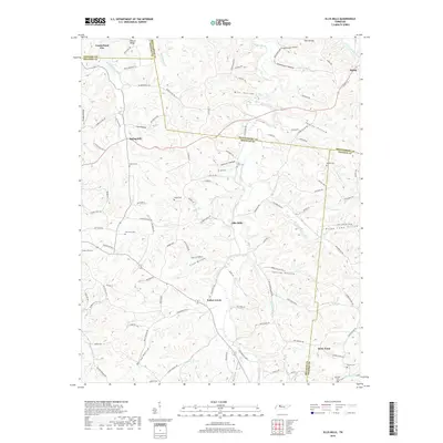
1965 Ellis Mills
Houston County, TN
2010 Ellis Mills
Houston County, TN
2010 McKinnon
Houston County, TN

2010 Stewart
Houston County, TN
2013 Ellis Mills
Houston County, TN
2013 McKinnon
Houston County, TN
2013 Stewart
Houston County, TN
2016 Ellis Mills
Houston County, TN
2016 McKinnon
Houston County, TN
2016 Stewart
Houston County, TN
2019 Ellis Mills
Houston County, TN
2019 McKinnon
Houston County, TN
2019 Stewart
Houston County, TN
2022 Ellis Mills
Houston County, TN
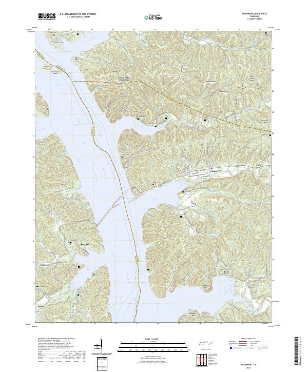
2022 McKinnon
Houston County, TN
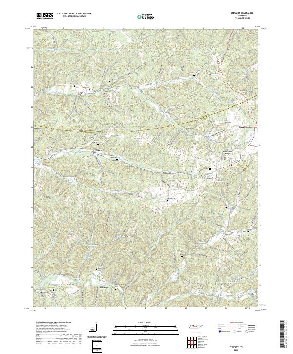
2022 Stewart
Houston County, TN