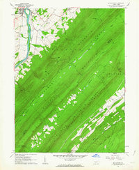
1961 Map of Mc Veytown
USGS Topo · Published 1963About this map
The Juniata River carves a sharp path through the northwestern corner of this territory, where the borough of McVeytown sits as a primary center of settlement. This 1961 survey illustrates a landscape dominated by the parallel ridges of the Appalachian Mountains, including Blue Mountain, Blacklog Mountain, and Tuscarora Mountain. The Pennsylvania railroad line follows the river's curve, facilitating transport through the gap near Mattawana.
Find a feature on this map
41 named features on this map. Tap any name to fly to it.
Don’t see what you’re looking for? This feature index may not catch every label — zoom into the map to look around manually.
Map Details
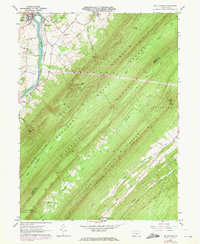
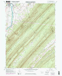
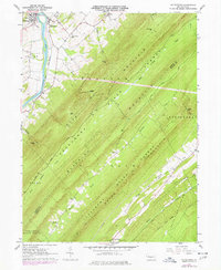
Editions of this 1961 Mc Veytown Map
4 editions found
Other maps of this area

1919 · Mattawana
USGS Topo · 1:62,500

1919 · Menno
USGS Topo · 1:62,500

1922 · Mt Union
USGS Topo · 1:48,000

1924 · Mt. Union
USGS Topo · 1:62,500

1924 · Lewistown
USGS Topo · 1:62,500

1927 · Lewisburg
USGS Topo · 1:62,500

1935 · Allensville
USGS Topo · 1:62,500

1936 · East Waterford
USGS Topo · 1:48,000

1938 · Allensville
USGS Topo · 1:62,500

1941 · East Waterford
USGS Topo · 1:62,500