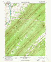
1961 Map of Mc Veytown
USGS Topo · Published 1972About this map
McVeytown and Mattawana sit at a bend in the Juniata River, serving as the northern gateway to a series of strictly linear ridges and valleys in central Pennsylvania. The landscape is defined by the massive spines of Blue Mountain, Blacklog Mountain, and Tuscarora Shade Mountain, which channel travel and settlement into narrow, parallel corridors. While the river valley hosts the Penn Central rail lines and more dense habitation, the interior valleys support small crossroads like Peru Mills and the family-centered landmarks of Mount Pleasant. The southern half of the map is dominated by the Tuscarora State Forest, where terrain features like Hesser Gap and Miller Gap provide the only passage through the high ridges. These gaps were historically vital for connecting the secluded agricultural clearings along Licking Creek and Blacklog Creek to the larger markets along the Juniata.
Find a feature on this map
43 named features on this map. Tap any name to fly to it.
Don’t see what you’re looking for? This feature index may not catch every label — zoom into the map to look around manually.
Map Details
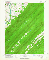
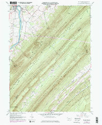
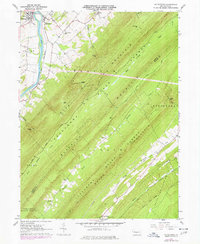
Editions of this 1961 Mc Veytown Map
4 editions found
Other maps of this area

1919 · Mattawana
USGS Topo · 1:62,500

1919 · Menno
USGS Topo · 1:62,500

1922 · Mt Union
USGS Topo · 1:48,000

1924 · Mt. Union
USGS Topo · 1:62,500

1924 · Lewistown
USGS Topo · 1:62,500

1927 · Lewisburg
USGS Topo · 1:62,500

1935 · Allensville
USGS Topo · 1:62,500

1936 · East Waterford
USGS Topo · 1:48,000

1938 · Allensville
USGS Topo · 1:62,500

1941 · East Waterford
USGS Topo · 1:62,500