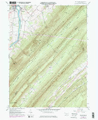
1961 Map of Mc Veytown
USGS Topo · Published 1977About this map
The Juniata River carves a narrow valley through the ridges of central Pennsylvania, anchoring the settlements of McVeytown and Mattawana. This mid-century landscape is defined by the sharp, parallel relief of Bratton Mountain and Blue Mountain, where numerous gaps like Miller Gap and Hesser Gap provide the only passage through the high ground. The Penn Central tracks follow the river's path, tracing a long-established transportation corridor that bypassed the more isolated reaches of the Tuscarora State Forest.
Find a feature on this map
37 named features on this map. Tap any name to fly to it.
Don’t see what you’re looking for? This feature index may not catch every label — zoom into the map to look around manually.
Map Details
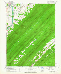
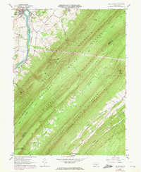
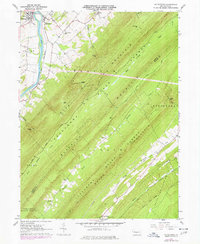
Editions of this 1961 Mc Veytown Map
4 editions found
Other maps of this area

1919 · Mattawana
USGS Topo · 1:62,500

1919 · Menno
USGS Topo · 1:62,500

1922 · Mt Union
USGS Topo · 1:48,000

1924 · Mt. Union
USGS Topo · 1:62,500

1924 · Lewistown
USGS Topo · 1:62,500

1927 · Lewisburg
USGS Topo · 1:62,500

1935 · Allensville
USGS Topo · 1:62,500

1936 · East Waterford
USGS Topo · 1:48,000

1938 · Allensville
USGS Topo · 1:62,500

1941 · East Waterford
USGS Topo · 1:62,500