
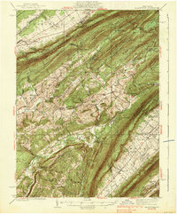
1938 Map of Allensville
USGS Topo · Published 1938About this map
The ridge-and-valley landscape of Central Pennsylvania is defined by the parallel elevations of Tussey Mountain, Jacks Mountain, and Stone Mountain. In the mid-1930s, this area supported a network of valley settlements and rural industry, including the milling operations at Pine Grove Mills and Cornpropst Mill. The presence of Monroe Furnace and Greenwood Furnace points to the region's earlier industrial heritage, while the Mount Gap CCC Camp indicates New Deal era activity in the state's forests.
Find a feature on this map
92 named features on this map. Tap any name to fly to it.
Don’t see what you’re looking for? This feature index may not catch every label — zoom into the map to look around manually.
Map Details
Editions of this 1938 Allensville Map
3 editions found
Other maps of this area

1901 · Huntingdon
USGS Topo · 1:62,500

1904 · Huntingdon
USGS Topo · 1:62,500

1908 · Bellefonte
USGS Topo · 1:62,500

1909 · Bellefonte
USGS Topo · 1:62,500

1919 · Mattawana
USGS Topo · 1:62,500

1919 · Menno
USGS Topo · 1:62,500

1922 · Mt Union
USGS Topo · 1:48,000

1922 · Philipsburg
USGS Topo · 1:62,500

1923 · Tyrone
USGS Topo · 1:62,500

1924 · Mt. Union
USGS Topo · 1:62,500