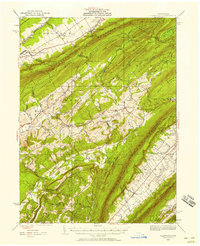
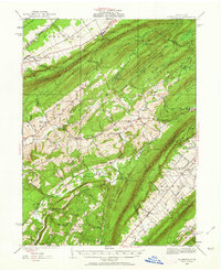
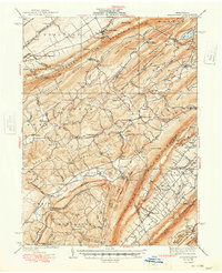
1935 Map of Allensville
USGS Topo · Published 1958About this map
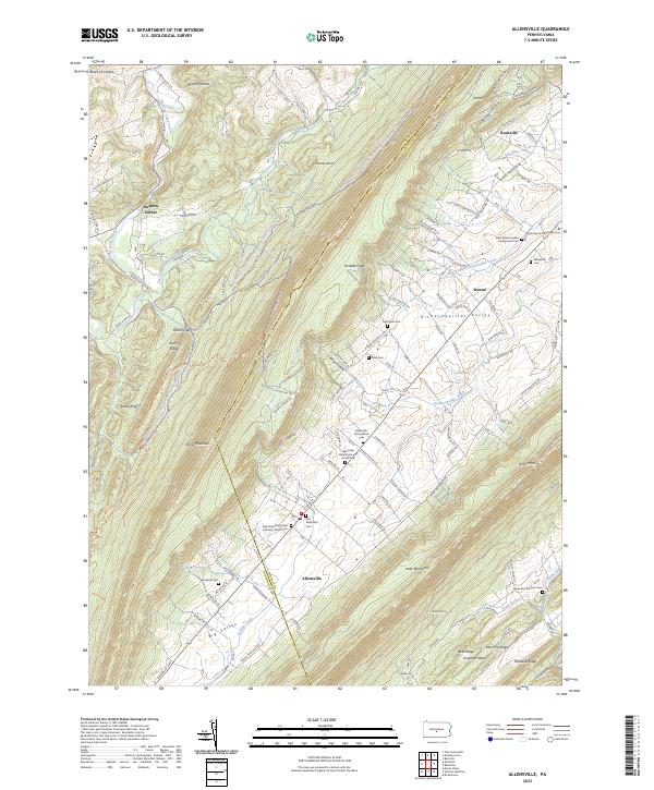
Tussey Mountain and Stone Mountain dominate this central Pennsylvania landscape, defining a series of parallel ridges and valleys where rural life was centered in the mid-1930s. The map illustrates a transition from earlier industrial activity to federal conservation efforts, featuring both Greenwood Furnace and Monroe Furnace alongside the Owl Gap CCC Camp and Martin Gap CCC Camp. These Civilian Conservation Corps sites represent a significant era of landscape management following the heyday of the local iron industry. Small agrarian and crossroads settlements like McAlevys Fort, Ennisville, and Allensville serve as focal points for the surrounding farmsteads. Local education and faith are deeply rooted in the terrain, evidenced by numerous one-room schoolhouses such as Slate Hill Sch and Concord Sch, and landmarks like Wesley Chapel. Drainage patterns are intricate, with Standing Stone Creek and Shaver Creek carving through the gaps, supporting sites like Compropst Mill.
Find a feature on this map
120 named features on this map. Tap any name to fly to it.
Don’t see what you’re looking for? This feature index may not catch every label — zoom into the map to look around manually.
Map Details
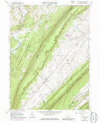
Editions of this 1935 Allensville Map
2 editions found
Historical Maps of Huntingdon Through Time
4 maps found
Featured Locations
- Huntingdon, PA
- Jackson Township, PA
- Miller Township, PA
- Menno Township, PA
- Pine Grove Mills, Ferguson Township