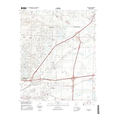
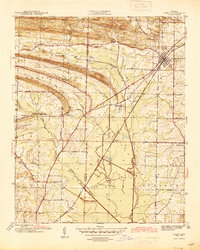
2017 Map of McAlmont
USGS Topo · Published 2017About this map
North Little Rock and the surrounding Pulaski County suburbs are defined here by a dense network of residential streets and essential transport corridors. The map details the transition from the industrial and transportation hubs near Protho Junction and Rose City to the residential communities of Sherwood and Sylvan Hills. Significant local landmarks include the North Little Rock Municipal Airport and several prominent memorial sites such as Rest Hills Cem and North Hills Memorial Gardens.
Find a feature on this map
124 named features on this map. Tap any name to fly to it.
Don’t see what you’re looking for? This feature index may not catch every label — zoom into the map to look around manually.
Map Details
Editions of this 2017 McAlmont Map
This is the sole edition of this map. No revisions or reprints were ever made.
Other maps of this area

1891 · Little Rock
USGS Topo · 1:125,000

1893 · Little Rock
USGS Topo · 1:125,000
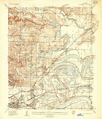
1935 · Mc Almont
USGS Topo · 1:24,000
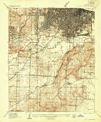
1935 · Little Rock
USGS Topo · 1:24,000
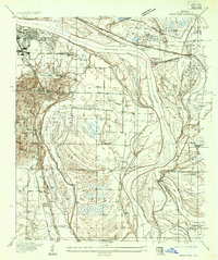
1935 · Sweet Home
USGS Topo · 1:24,000
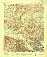
1935 · North Little Rock
USGS Topo · 1:24,000
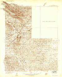
1935 · Alexander
USGS Topo · 1:48,000
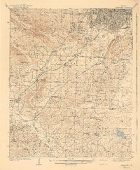
1941 · Alexander
USGS Topo · 1:62,500
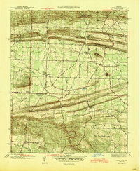
1941 · Olmstead
USGS Topo · 1:31,680
1941 · Cabot
USGS Topo · 1:31,680