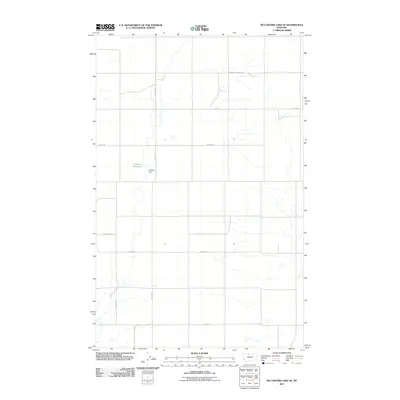
2011 Map of McCarters Lake SE
USGS Topo · Published 2011About this map
Childers Reservoir and its associated Childers Dam sit at the center of this agricultural landscape in Liberty County, which is defined by a rigorous grid of section-line roads and scattered educational outposts. The persistence of small rural schoolhouses is evident through the locations of Hawthorne School and North Lothair School, points of community identity in a region characterized by large-scale ranching operations such as Blair Ranch. The transportation network relies on named corridors like Galata Rd and Greenhill School Rd, which facilitate movement between these isolated homesteads and water management features. The names Utopia Rd and Jap Evans Rd hint at the personal histories and early settlement aspirations of this high plains territory.
Find a feature on this map
13 named features on this map. Tap any name to fly to it.
Don’t see what you’re looking for? This feature index may not catch every label — zoom into the map to look around manually.
Map Details
Editions of this 2011 McCarters Lake SE Map
This is the sole edition of this map. No revisions or reprints were ever made.
Other maps of this area

1954 · Shelby
USGS Topo · 1:250,000

1958 · Shelby
USGS Topo · 1:250,000

1962 · North Lothair School
USGS Topo · 1:24,000

1962 · Hawthorne School
USGS Topo · 1:24,000

1962 · Berkholder Reservoir
USGS Topo · 1:24,000

1962 · Mc Carters Lake
USGS Topo · 1:24,000

1962 · Blair Ranch
USGS Topo · 1:24,000

1962 · Mc Carters Lake SE
USGS Topo · 1:24,000

1970 · Devon
USGS Topo · 1:24,000

1970 · Galata
USGS Topo · 1:24,000