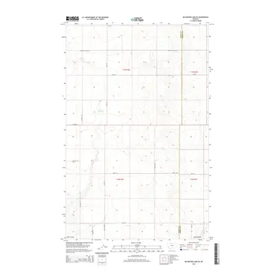
2014 Map of McCarters Lake SE
USGS Topo · Published 2014About this map
The boundary between Toole and Liberty County bisects this segment of the northern Montana plains, revealing a landscape defined by expansive township grids and intermittent water resources. Childrers Reservoir stands as a primary water source in the northwest, situated near the head of natural drainage systems like Galata Ravine and Kinyon Coulee. The map illustrates a sparse but organized settlement pattern typical of the high plains, where large landholdings like Blair Ranch are connected by a network of sectional roads.
Find a feature on this map
22 named features on this map. Tap any name to fly to it.
Don’t see what you’re looking for? This feature index may not catch every label — zoom into the map to look around manually.
Map Details
Editions of this 2014 McCarters Lake SE Map
This is the sole edition of this map. No revisions or reprints were ever made.
Other maps of this area

1954 · Shelby
USGS Topo · 1:250,000

1958 · Shelby
USGS Topo · 1:250,000

1962 · North Lothair School
USGS Topo · 1:24,000

1962 · Hawthorne School
USGS Topo · 1:24,000

1962 · Berkholder Reservoir
USGS Topo · 1:24,000

1962 · Mc Carters Lake
USGS Topo · 1:24,000

1962 · Blair Ranch
USGS Topo · 1:24,000

1962 · Mc Carters Lake SE
USGS Topo · 1:24,000

1970 · Devon
USGS Topo · 1:24,000

1970 · Galata
USGS Topo · 1:24,000